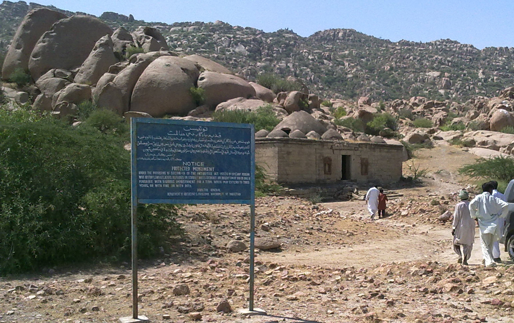
Jacobabad

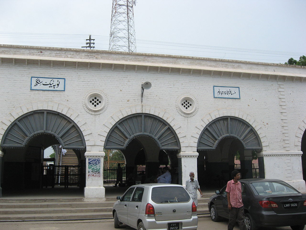
Jacobabad or Khangarh is a city in Sindh, Pakistan. This city is serving as both the capital city of Jacobabad District and the administrative centre of Jacobabad Taluka, an administrative subdivision of the district. The city itself is subdivided into 8 Union Councils. Sitting close to the provincial boundaries of Sindh and Balochistan. Jacobabad was founded by General John Jacob in 1847 on the site of an existing village, and is crossed by the Pakistan Railway and many main roads of the province. … Read More >Jacobabad

Islamkot

Islamkot is a town in the Tharparkar District in Sindh, Pakistan. The name of the city translates as “Islam Fort”. This town is also known as the Neem tree town because there are so many Neem trees in that town. This town has nearly equal Muslim and Hindu population. The Hindu saint “Shri Sant Nanuram ” was born here and Neenuram Ashram is located in the town. The people of this town is getting education and there are many schools for the people of this city. There are 10 primary boys school and a higher secondary school, and also three girls primary school and a girls high school. … Read More >Islamkot

Hala

Hala is a city and taluka of Matiari district of Sindh, Pakistan. According to the Revenue record, Hala was given the status of Taluka in 1848. The population of the Taluka Hala was 161,980 according to the 2000 census. Now the population of this city is about 200,000. Hala is noted for its arts and crafts, particularly its pottery, wood work, cloth printing and weaving, known as Sussi in various beautiful designs and khaddar made of handmade khaddi. … Read More >Hala

Ghotki

Ghotki is the capital of Ghotki District in northern Sindh, Pakistan. The town is located at Latitude of 28°1′0 North and Longitude of 69°19′0 East with an altitude of 72 metres. Ghotki is located in northern Sindh as a border district between Sindh and Punjab. Ghotki is divided in two sections; the main area of city markets whereas the other contains the main area of residence. … Read More >Ghotki

Diplo

Diplo is a town in Tharparkar District, in the Sindh province of Pakistan. It is located at 24°28’0N 69°35’0E with an altitude of 26 meters (85 feet). It is located in Thar desert. This is an old city where Memon’S mostly migrated from other parts of the Sindh during conspiracies of British & Talpurs which made it difficult and unsafe for the people to live there, Memon’s being religious and peace loving people so they migrated to far flung area to stay out of reach from those unsafe areas during 1800/1900 BC. … Read More >Diplo

Digri

Digri is a town in District Mirpurkhas, Sindh, Pakistan. Digri is named after then lived taller lady which was renowned as “dighi” in Sindhi means taller. This city is located on the geographical coordinates of 25° 10′ 0″ North, 69° 7′ 0″ East. There are several roads and towns around this city. These roads and towns are Tando Gulam Ali Road, Tando Bhago Baloch Colony Road, Mirwah Gorchani Road, Almas Town Kot Ghulam Mohammad Road (Jamesabad), Tando Jan Mohammad Road, DEH 164-B Chaudhary Hussain sanghera village. … Read More >Digri

Chachro

Chachro is a taluka (tehsil) in the Tharparkar District of Sindh, Pakistan. It is located in the southeast corner of Pakistan, in the Thar Desert, along the Pakistan-India border. This city is known by the names of Chachro also goes by the names, Chachro, Chhachhro, Chāchro. This city is located at Latitude of 25.1167°and Longitude of 70.2500°. It has an elevation of 86 meters above sea level. There are several languages spoken here in this tehsil. The people of this town speak the Dhatki language, as well as Sindhi. … Read More >Chachro

Wazirabad

Wazirabad is an industrial city located in Gujranwala District in province Punjab of Pakistan. Wazirabad is located on the Latitude of 32°26′N and Longitude of 74°07′E. It is situated on the banks of the Chenab River nearly 100 kilometres north of Lahore on the Grand Trunk Road. It is 45 kilometres from Sialkot, 30 kilometres from the district capital of Gujranwala and about 12 kilometres from Gujrat. Wazirabad City is located near the south banks of the Chenab River near a village Chanawan where the picturesque Nala Palkhu, a snow stream from the Himalayas joins to this big river. … Read More >Wazirabad

Wah Cantonment

Wah Cantonment or Wah Cantt is a military city located in the Punjab province of Pakistan, 30 km (19 mi) to the north west of Rawalpindi/Islamabad. The name ‘Wah’ has its roots in the Mughal era with the Mughal emperor Jehangir reported to have coined the name when his army was stationed at Wah, originally called ‘Jalal Sar’ nearby here, en route from a visit to Kashmir. Emperor Jehangir was impressed by the scenery of that place, so he said “Wah” (‘wow’) and so that village was named ‘Wah’ after that exclamation. … Read More >Wah Cantonment

Vehari

Vehari is a small town in province Punjab of Pakistan. It is about 100 km from the historical city of Multan and is the headquarters of Vehari District in the Punjab province of Pakistan. Vehari is situated at the Multan Delhi Road constructed by Indian Muslim Emperor Sher Shah Suri and is located at an altitude of 135 m. It is about 37 kilometres north of the river Sutlej in the southernmost of the five rivers of the Punjab region. Islam Headworks is located on this river near Luddan on the Luddan-Vehari canal providing irrigation water to both banks of the river, which includes the upper fringes of the Cholistan Desert. … Read More >Vehari

Toba Tek Singh

Toba Tek Singh is a city and tehsil of Toba Tek Singh District in province Punjab of Pakistan. It is located at Latitude of 30°58’0N and Longitude of 72°29’0E. It is located in the southwest of Faisalabad, north of Multan, and South West of Dera Ismail Khan. The main language of the people of this city is Punjabi while other languages are also spoken upto small extent. About 95% of the population speak Punjabi language. Urdu is the national language so it is spoken and understood. English is also understood and spoken by the educated people. … Read More >Toba Tek Singh

Takht Bhai

Takht Bhai is a city in Khyber Pakhtunkhwa province of Pakistan. It is located in Mardan and is an archaeological site. It was first a Zoroastrian complex which, after the later arrival of Buddhism, was then converted into a Buddhist monastic complex. It is dated to the 1st century BCE. The complex is regarded by archaeologists as being particularly representative of the architecture of Buddhist monastic centers from its era. The word Takht Bhai may have different explanations. One is that Takht means “well” and Bhai means “Top” so there is a well on the top of the hill thats why it is called Takht Bhai. In Avestan, Takht means “capital” and bahi means “good”, so the whole word means “the good capital”. … Read More >Takht Bhai