Category: FATA
Jamrud
Jamrud is a town in Federally Administered Tribal Areas of Pakistan. It is located at the Latitude of 33.969 North and Longotude of 71.338 East. It is located in the Khyber Agency. Jamrud is located at an altitude of 1512 ft (461 meters) above sea level and is 17 km west from the city of Peshawar. The town is the doorway to the Khyber pass, part of the Hindu Kush range. The town has road and rail linkages with Peshawar city of Pakistan, and a pass connects it with Landi Kotal, located near the borders of Afghanistan. …
Orakzai Agency
Orakzai Agency is a city in Federally Administered Tribal Areas of Pakistan. It is bounded by Kurram Agency in the west, Khyber in the north, Kohat District on the south and Peshawar in the east. It has a population of 450,000. It has an area of 700 square miles. The Orakzai tribe comprises 18 subsidiary tribes. Among the seven tribal agencies, Orakzai Agency is the second smallest in area after Bajaur Agency. …
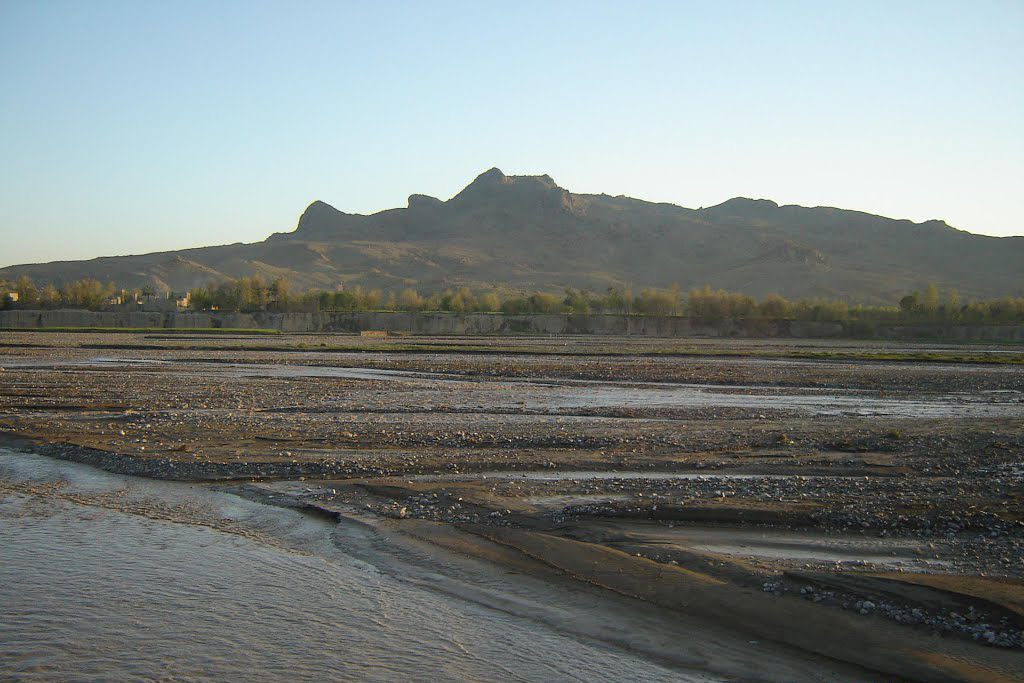
Sadda
Sadda is a city in Federally Administered Tribal Areas of Pakistan. It is the second large town in Kurram Agency. It is a big trade market for the people of lower kurram and central kurram. During the Soviet-Afghan War it was known for its mujahideen training camps set up by Ustad Abdur Rab Sayyaf. …
Razmak
Razmak isa city in Federally Administered Tribal Areas in Pakistan. It is one of the three sub-divisions of North Waziristan Agency in Pakistan, the other two being Miranshah and Mirali. Inhabitants are Uthmanzai Wazirs. The population is migratory and owns land also in other parts of the North Waziristan Agency where they migrate when it gets too cold. The main tribes that inhabit Razmak sub-division are Toori Khel, Boora Khel and Dirdooni. …
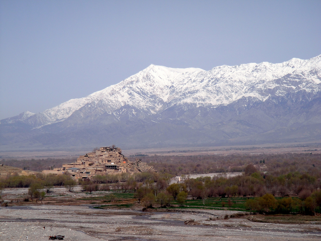
Parachinar
Parachinar is the capital of Kurram Agency, and the largest city of the Federally Administered Tribal Areas of Pakistan. The name Parachinar may derive from a large Chinar tree at a place now encompassed by the headquarters ofKurram Agency. Alternatively, there is in the Kurram Agency a tribe known as the Para-chamkani (Lisyani), which is remembered to have convened meetings under a Chinar tree to resolve their social matters. The previous name, used for Kurram was Tutki, which is still used by some Afghan people. The inhabitants of Tutki were called Tutkiwal. …
Mir Ali
Mir Ali is a town in Federally Administered Tribal Areas of Pakistan. It is town of North Waziristan Adjusting with Bannu of Pakistan. It is located at Latitude of 32°59’4 North and Longitude of 70°15’24 East. It has an altitude of 655 metres (2152 feet) and lies close to the border with Afghanistan. In October 2007, a battle killed 175 near the town. The residents of Mir Ali are Dawar and Utman Zai Wazir tribals. …
Darra Adam Khel
Darra Adam Khel is a town in the Khyber Pakhtunkhwa province of Pakistan. It is located between Peshawar and Kohat in Khyber Pakhtunkhwa. It is located around 40 kilometres south of Peshawar on the road to Kohat. The drive takes around forty minutes. Darra Adam Khel is an unkempt village of two storey wood and adobe buildings in the sand stone hills near the Kohat Frontier region. It is inhabited by Pashtuns of the Afridi clan, the Adam Khel. The town consists of one main street lined with shops, with some alleys and side streets containing workshops. …
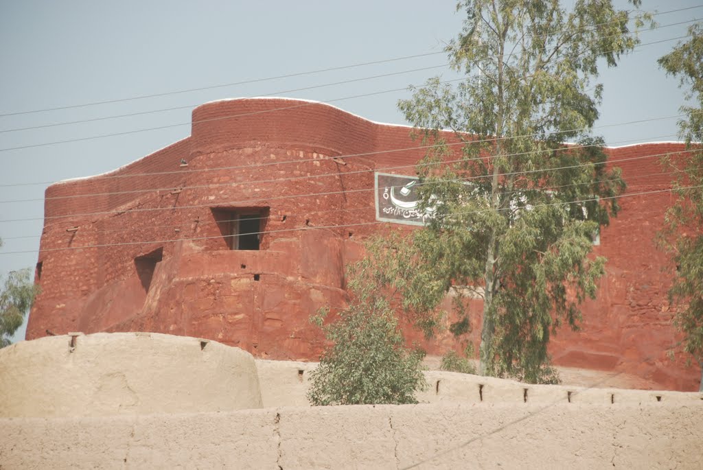
Bara
Bara is a town in Federally Administered Tribal Areas in Pakistan. This town is located at the Latitude of 33° 55′ North and Longitude of 71° 27′ East. The mud fort is visible on Google Earth at 33° 54′ 53″ by 71° 28′ 05″, lying alongside a water tank and the Bara River which eventually flows to the East of Peshawar. It is located in Bara Tehsil in Khyber Agency, Federally Administered Tribal Areas, Pakistan. To the south is Kohat district and to the north Peshawar. …
Alizai
Alizai is a Tehsil headquarters in Federally Administered Tribal Areas of Pakistan, its Markaz is Alizai town. It is located on the Latitude of 33.32° North and Longitude of 70.20° East. It is located near the Durand Line border with Afghanistan. There are three places named Alizai in the Kurram Agency, but this article refers to Alizai in the Lower Kurram Agency. The Alizai Tehsil boundaries start from Sakhi Ahmadshah in northwest to Chapri at the bottom of Kurram. …
