Mehar

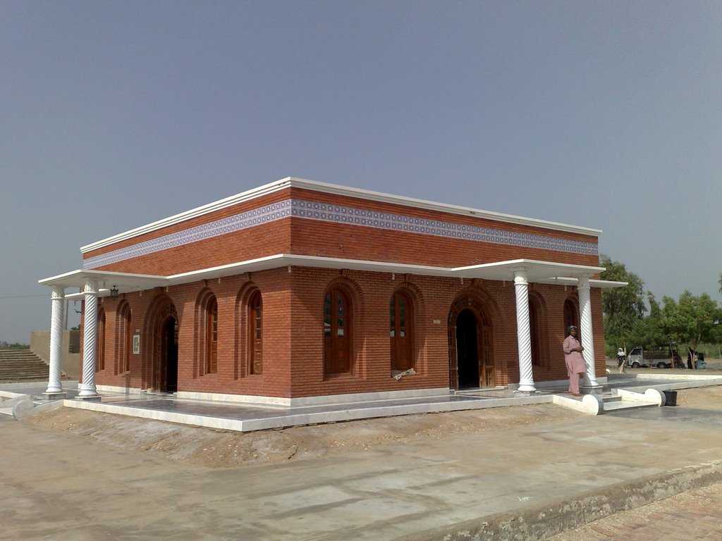
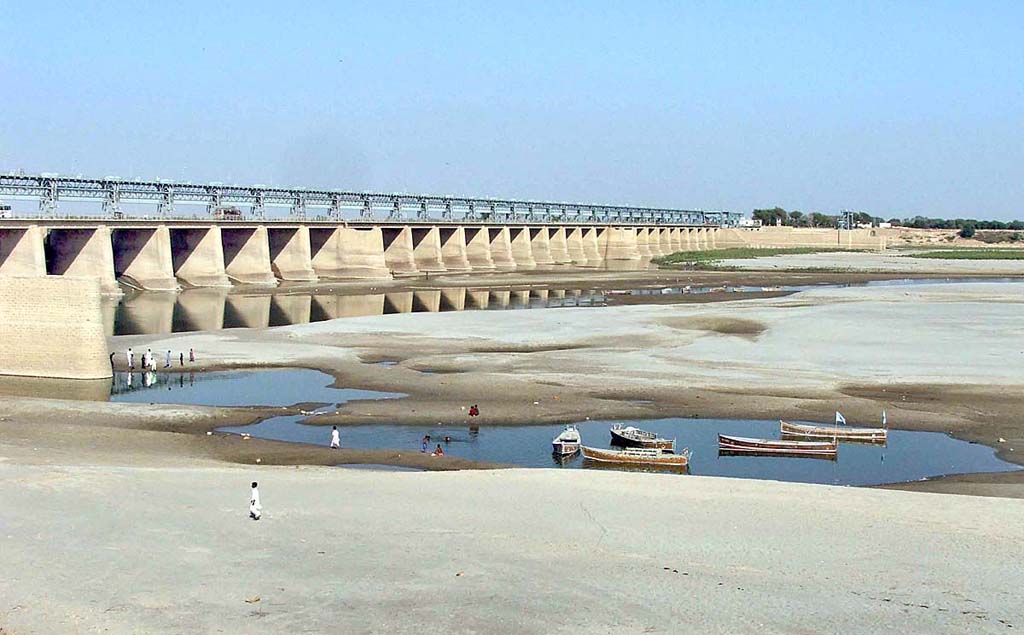
Mehar is an administrative subdivision of Dadu District in the Sindh province of Pakistan. This city is located at the Latitude of 27`10`44.23″ North and Longitude of 67`49`25.34 East. Mehar is a town in Dadu District. It is administrated by the Government of Sindh. The most popular casts are sindhi + muhajir and most papular cast in sindhi (jatoi) very powerful persons. This city is administratively subdivided into 15 Union Councils. Union Councils List 1.Mehar 2.Balishah 3.Bothro 4.Baledai 5.Betto 6.Faridabad 7.Gahi Mahessar 8.Kolachi 9.Khan Jo Goth 10.Mangwani 11.Nau Goth 12.Qazi Aarif 13.Radhan 14.Shah Panjo 15.Tharari Mohabat. … Read More >Mehar

Matiari

Matyari or Matiari is a city in province Sindh of Pakistan. It is also the capital city of Matiari District, Sindh. About the name “MATIARI”, it is said that, before settling at here SAYED MEER ALI SHAH was firstly settled in a village”MUTAALO” near to Shahdadpur,district Sangher,then he settled at the place which is called Matiari, so these SAYEDS were called the people of “MUTAALO”,which changed to “MUTAALVI”,then “MATIARI”. It is located at the Latitude of 25°36′00″ North and Longitude of 68°26′24″ East. It is the one of oldest territory of Sindh. The Dargah of Pir Sayed Haji Shah Badshah is located in Matiari. Matiari is well known for its , Ice-Cream and Ajrak (a sindhi dressing). … Read More >Matiari

Kotri

Kotri is a large town in the province Sindh of Pakistan. It is the headquarters station of the Kotri Taluka, or administrative district. It is located at Latitude of 25.373964° North and Longitude of 68.301315° East. It is situated on the right bank of the Indus (in Sindh, Pakistan) and since 1900 has been connected with Gudu Bander on the other side of the river by an iron bridge replacing the steamboat which used to cross between these two places. Jhirk was the busiest river port and centre of commercial activity in Sindh in 19th century. It also served as the headquarters of the Indus Flotilla, the most modern navigational system of those days. … Read More >Kotri

Korangi

Korangi is a city in province Sindh of Pakistan. It is one of the neighbourhoods of Landhi Townin Karachi, Sindh. This city is located on Latitude of 24°47′ North and Longitude of 67°08′ East. Korangi Town is a town in the eastern parts of Karachi, in the north of the Malir River. It is bordered by Faisal Cantonment and Shah Faisal Town to the north, Bin Qasim Town and Landhi Town to the east and south, Korangi Creek Cantonment to the southwest and Jamshed Town to the west across the Malir River. … Read More >Korangi

Khokhrapar

Khokhrapar or Khokhropar is a border town situated in Tharparkar District, Sindh, Pakistan. It is located at Latitude of 25°41 North and Longitude of 70°12 East and has an altitude of 71 metres. This city is accessable through roads as well as railway station. Khokhrapar railway station was established in 1870. Before the independence of Pakistan in 1947, the Sind Mail was ran between Hyderabad, Pakistan and Ahmedabad, India via Mirpur Khas, Khokhrapar, Munabao, Barmer, Luni, Jodhpur, Pali, Marwar and Palanpur. … Read More >Khokhrapar

Khairpur

Khairpur is a city in province Sindh of Pakistan. It is also the capital of the Khairpur District, in Sindh province. It is the twelfth largest city in the province of Sindh in Pakistan. This city is located on the Latitude of 27°32′N and Longitude of 68°46′E. The city is situated along the Khairpur East Canal, 11 miles (18 km) south of the Indus River. It is connected by rail with Peshawar and Karachiand by road with Sukkur and Karachi. The city had an estimated population of 127,857 in 2006. It has some fine historic buildings notably the Faiz Mahal and Kot Diji Fort. … Read More >Khairpur

Keti Bandar

Keti Bandar is a city is the province Sindh of Pakistan. It is a port on the Arabian Sea, in the Thatta District in Sindh. This city is located on the latitude of 24°7’44.58″ east and Longitude of 67°27’53.93″ north. It is located on the port of Arabian Sea. The people of this city speaks Sindhi language in major while other languages are also spoken. About 90% of the population speaks Sindhi and 10% speaks other languages. Urdu in the national language so it is spoken and understood. English is also understood and spoken by the educated people of this city. … Read More >Keti Bandar

Kashmore

Kashmor or Kashmore is a town in province Sindh of Pakistan. It is a tehsil and the administrative centre for Kashmor District in the Sindh. Kashmor city is a gateway to Punjab Pakistan and Balochistan. Kashmor district is situated in northern part of Sindh, bordering Ghotki, Jacobabad, Shikarpur and Sukkur within Sindh. It also borders Balochistan on one side and Punjab on the other. The Indus river runs through the Eastern side of Kashmor district. The southeastern side of Kashmor district has forest of (Kacha) that support wild animals. … Read More >Kashmore

Kandiaro

Kandiaro is a city in the Naushahro Feroze District of Sindh province of Pakistan. The city is the headquarter of Kandiaro Taluka. All offices of the Taluka administration are located in here. This city is situated on the earthen heap or Darro, to safeguard the town from Flood waters of Indus (Mehran River passing north-west) and Nasrat Wah (Sada Wah, the then inundation canal, now Bhaddo), in the southern province of Sindh,Pakistan. The main language of the people of this city is Sindhi while other languages are also spoken here. About 90% of the population speaks Sindhi and the rest 10% speak other languages … Read More >Kandiaro

Jungshahi

Jungshahi is a town of Thatta District in the Sindh province of Pakistan. It is a Union Council of Thatta tehsil. It lies to the east of Karachi at Latitude of 24°51’26 North and Longitude of 67°46’21 East. Jungshahi is 21 kilometres west of the district capital Thatta, during British rule the North Western Railway connected the town with Karachi. The town of Jungshahi is totally covered around mountains. Sandstone, gypsum, silica, granite, concrete, limestone and coals are found there. … Read More >Jungshahi

Jamshoro

Jamshoro is a city and capital of Jamshoro District in province Sindh of Pakistan. This city is located at Latitude of 25.26° North and Longitude of 68.20° East. It is located on the right bank of Indus River, approximately 18 km Northwest of Hyderabad and 150 km Northeast from the provincial Capital of Sindh and largest city of Pakistan, Karachi. The population of Jamshoro city is estimated to be 80,000 in 2014. The population of Jamshoro Districtincreased from 582,094 in 1998 to 1,176,969 in 2011, an increase of 102.2%. … Read More >Jamshoro

Jamesabad

Jamesabad is a town in the district of Mirpur Khas Sind province of Pakistan. It was named for the services rendered by Captain James Outram in the Battle of Miani in Hyderabad. It has been renamed as Kot Ghulam Muhammad now officially by Sindh Government. It is located at Latitude of 30°21’0 North and Longitude of 71°50’60 East. This city is located on an altitude of 131 metres (433 feet). The population of this city is about 30,000. … Read More >Jamesabad