Mehar is an administrative subdivision of Dadu District in the Sindh province of Pakistan.
Location:
This city is located at the Latitude of 27`10`44.23″ North and Longitude of 67`49`25.34 East. Mehar is a town in Dadu District. It is administrated by the Government of Sindh.
Casts:
The most popular casts are sindhi + muhajir and most papular cast in sindhi (jatoi) very powerful persons.
Division:
This city is administratively subdivided into 15 Union Councils. Union Councils List 1.Mehar 2.Balishah 3.Bothro 4.Baledai 5.Betto 6.Faridabad 7.Gahi Mahessar 8.Kolachi 9.Khan Jo Goth 10.Mangwani 11.Nau Goth 12.Qazi Aarif 13.Radhan 14.Shah Panjo 15.Tharari Mohabat.
Mehar, Sindh
History:
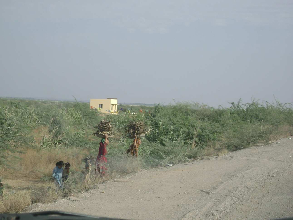
This city was a subdivision of Dadu District during British rule with the town of Mehar as the headquarters.This city has an area of 328 square miles. The population in 1901 was 58,434, compared with 48,320 in 1891. This city contains 64 villages, of which Mehar is the headquarters. The density, 178 persons per square mile, greatly exceeds the District average. The land revenue and cesses in 1903-4 amounted to 2.8 lakhs. The tāluka is irrigated by the Western Nāra and one of its feeders, the stable crop is jowār abd rice. Prior to the floods of 1874 Mehar was fertile, but the water has now become brackish and all gardens have perished. Cultivation near the hills on the west depends entirely on rainfall.
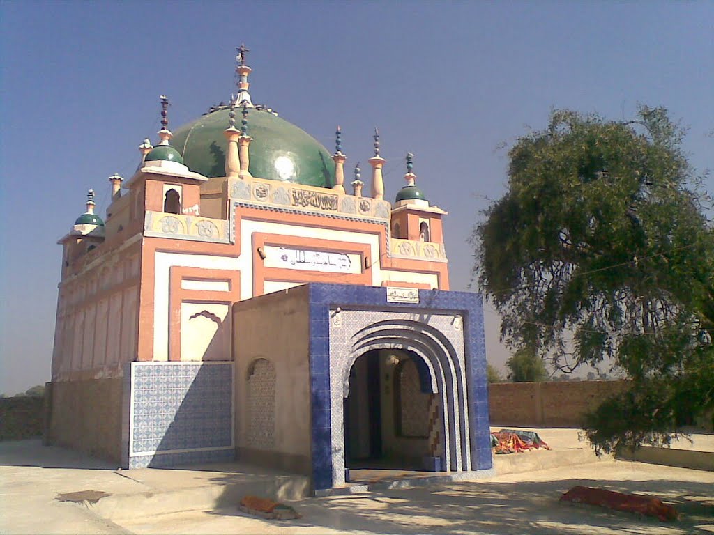
Dargah Hazrat Shah panjo sultan Mehar dadu