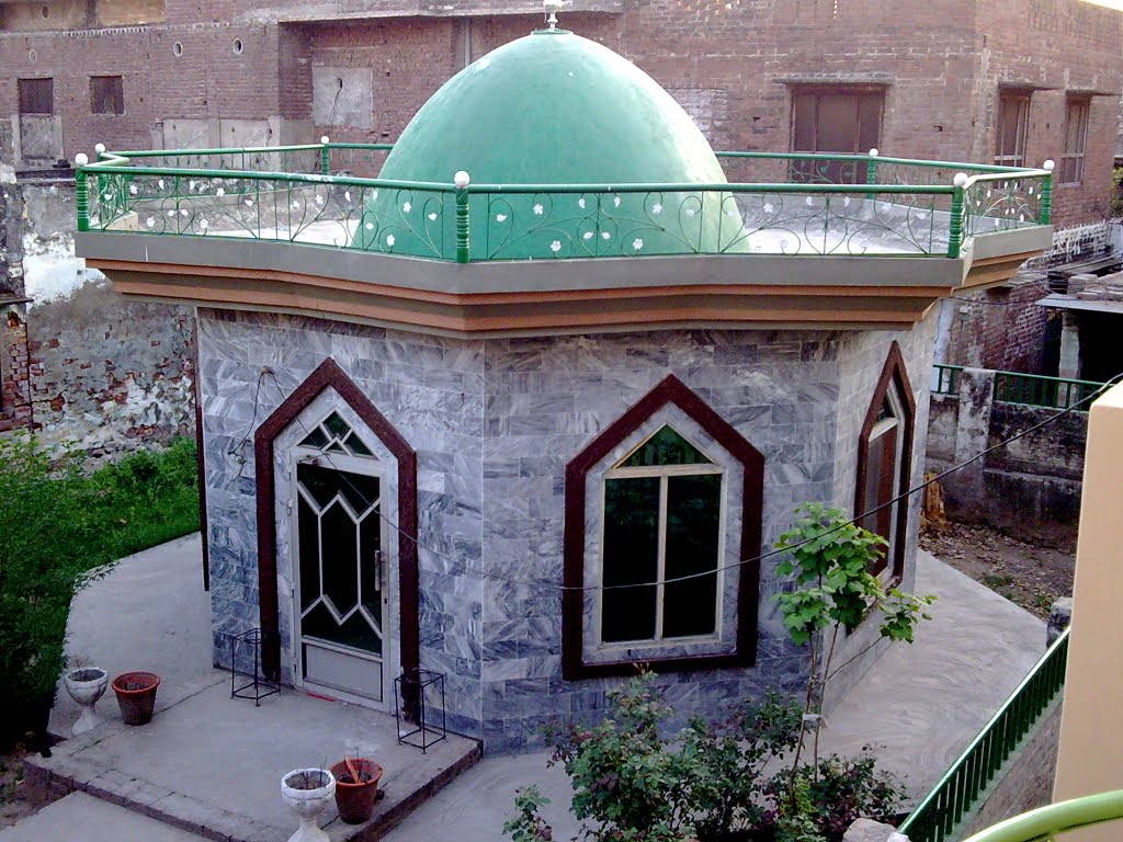
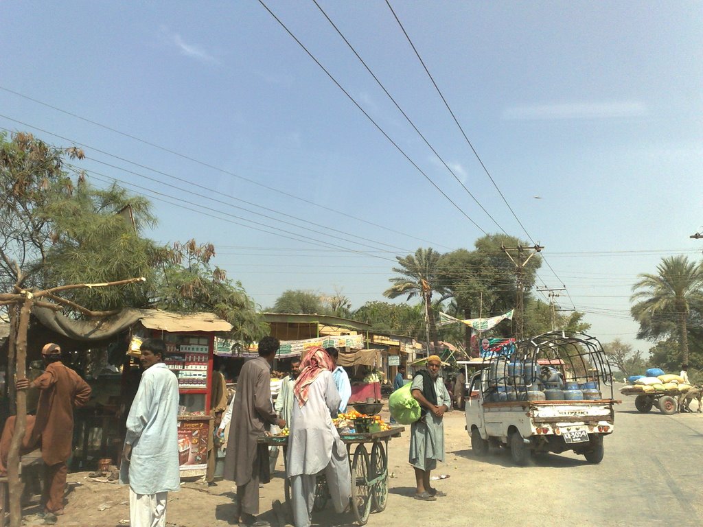
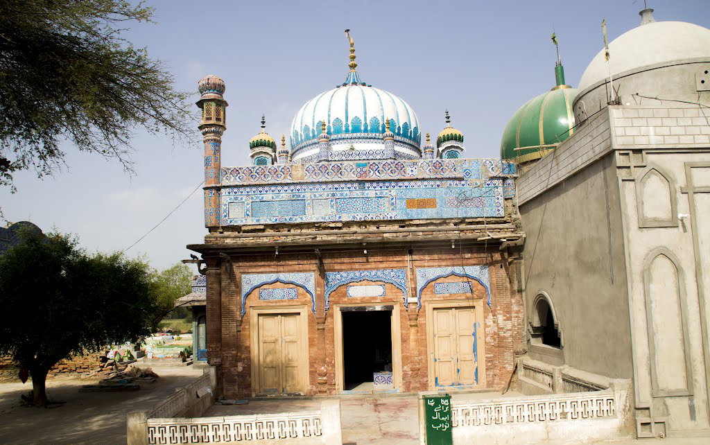
Sadda

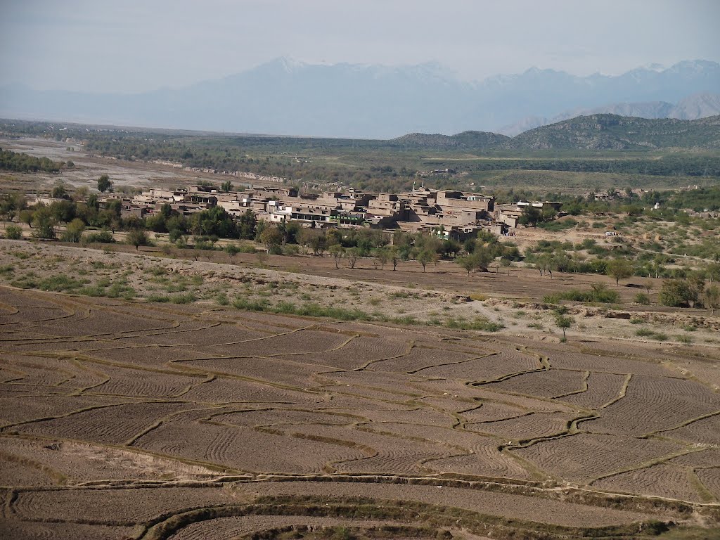
Sadda is a city in Federally Administered Tribal Areas of Pakistan. It is the second large town in Kurram Agency. It is a big trade market for the people of lower kurram and central kurram. During the Soviet-Afghan War it was known for its mujahideen training camps set up by Ustad Abdur Rab Sayyaf. … Read More >Sadda

Razmak

Razmak isa city in Federally Administered Tribal Areas in Pakistan. It is one of the three sub-divisions of North Waziristan Agency in Pakistan, the other two being Miranshah and Mirali. Inhabitants are Uthmanzai Wazirs. The population is migratory and owns land also in other parts of the North Waziristan Agency where they migrate when it gets too cold. The main tribes that inhabit Razmak sub-division are Toori Khel, Boora Khel and Dirdooni. … Read More >Razmak

Parachinar

Parachinar is the capital of Kurram Agency, and the largest city of the Federally Administered Tribal Areas of Pakistan. The name Parachinar may derive from a large Chinar tree at a place now encompassed by the headquarters ofKurram Agency. Alternatively, there is in the Kurram Agency a tribe known as the Para-chamkani (Lisyani), which is remembered to have convened meetings under a Chinar tree to resolve their social matters. The previous name, used for Kurram was Tutki, which is still used by some Afghan people. The inhabitants of Tutki were called Tutkiwal. … Read More >Parachinar

Mir Ali

Mir Ali is a town in Federally Administered Tribal Areas of Pakistan. It is town of North Waziristan Adjusting with Bannu of Pakistan. It is located at Latitude of 32°59’4 North and Longitude of 70°15’24 East. It has an altitude of 655 metres (2152 feet) and lies close to the border with Afghanistan. In October 2007, a battle killed 175 near the town. The residents of Mir Ali are Dawar and Utman Zai Wazir tribals. … Read More >Mir Ali

Darra Adam Khel

Darra Adam Khel is a town in the Khyber Pakhtunkhwa province of Pakistan. It is located between Peshawar and Kohat in Khyber Pakhtunkhwa. It is located around 40 kilometres south of Peshawar on the road to Kohat. The drive takes around forty minutes. Darra Adam Khel is an unkempt village of two storey wood and adobe buildings in the sand stone hills near the Kohat Frontier region. It is inhabited by Pashtuns of the Afridi clan, the Adam Khel. The town consists of one main street lined with shops, with some alleys and side streets containing workshops. … Read More >Darra Adam Khel

Bara

Bara is a town in Federally Administered Tribal Areas in Pakistan. This town is located at the Latitude of 33° 55′ North and Longitude of 71° 27′ East. The mud fort is visible on Google Earth at 33° 54′ 53″ by 71° 28′ 05″, lying alongside a water tank and the Bara River which eventually flows to the East of Peshawar. It is located in Bara Tehsil in Khyber Agency, Federally Administered Tribal Areas, Pakistan. To the south is Kohat district and to the north Peshawar. … Read More >Bara

Alizai

Alizai is a Tehsil headquarters in Federally Administered Tribal Areas of Pakistan, its Markaz is Alizai town. It is located on the Latitude of 33.32° North and Longitude of 70.20° East. It is located near the Durand Line border with Afghanistan. There are three places named Alizai in the Kurram Agency, but this article refers to Alizai in the Lower Kurram Agency. The Alizai Tehsil boundaries start from Sakhi Ahmadshah in northwest to Chapri at the bottom of Kurram. … Read More >Alizai

Tando Adam

Tando Adam is a town in province Sindh, Pakistan. The city is also called Daran Jo Shehar , because it had eight gates in different places. In 1947, there were only 7,000 residents; by 2012, the population had increased to 123,261. The population is 92% Muslim, 6% Hindu, and 2% Christian. Ethnically, 50% are Sindhi, 30% are Muhajir, 10% are Punjabi, 8% are Pashtun, and 2% other ethnicity. The official language of the city is Urdu; other languages spoken include Sindhi, Siraiki, Balochi, Pashto, Punjabi, and Marwari Qaimkhani. Sindhi is a medium of communication. … Read More >Tando Adam

Tando Allahyar

Tando Allahyar is a town in province Sindh, Pakistan. It is the capital of Tando Allahyar District. It is located at the Latitude of 25°27′ North and Longitude of 68°42′ East. Tando Allahyar lies 25 miles north east of Hyderabad, on the road between Hyderabad and Mirpurkhas. Tando Allahyar is a railway hub for the Sindh region. Early in the nineteenth century, members of the Bozdar family, a community from the Suleiman Mountains, founded the settlements of Khan Muhammad Bozdar, Massu Bozdar and Dhangano Bozdar. … Read More >Tando Allahyar

Umarkot

Umarkot is a town in the Umarkot District in Sindh, Pakistan. This city is located at the Latitude of 33.371° North and Longitude of 73.175° East. The city is well connected with the other large cities like Karachi, the provincial capital and Hyderabad. Most spoken language are Sindhi, Punjabi, and Dhatki. Urdu is the national language so it is spoken and understood. English is also spoken and understood by the educated people. … Read More >Umarkot

Thatta

Thatta is a city in province Sindh of Pakistan. It is the capital of Thatta District and will be capital of announced Banbhore Division. Some suggested the name derived from the word Thab implying closeness of population, while others find its origin in the common word Thatta, a crowd or assembly of people. It is located at the Latitude of 24°44′46.02″ North and Longitude of 67°55′27.61″ East. It is located 100 km (62 mi) east of the provincial capital of Sindh, Karachi, it makes for a practical escape for people from the city seeking to visit the picturesque old town. … Read More >Thatta

Shahbandar

Shah Bandar or Shahbandar is located in Thatta District, Sindh, Pakistan. It is located on Latitude of 24°09′57.35″ North and Longitude of 67°54′12.14″ East. The Sindhis form the majority of the population of Shahbandar. There are also Baloch and Kutchi settled in Shahbandar. The population is predominantly Muslim with a small Hindu minority. … Read More >Shahbandar