Top Reads
Blog
Jhal Magsi
Jhal Magsi district is in the center of Balochistan province of Pakistan. It is situated on Latitude of 28°22’7.72″ and Longitude of 67°32’34.8″. The district is named after the town of Jhal, seat of the Magsi tribe, thus the name of Jhal Magsi is the headquarters of the major Baloch tribe within the district. The Magsi tribe is historically branched off the early Lashari tribes. The district is divided into two sub divisions: Gandawah and Jhal Magsi. Both sub divisions have a different administrative history. …
Hinglaj
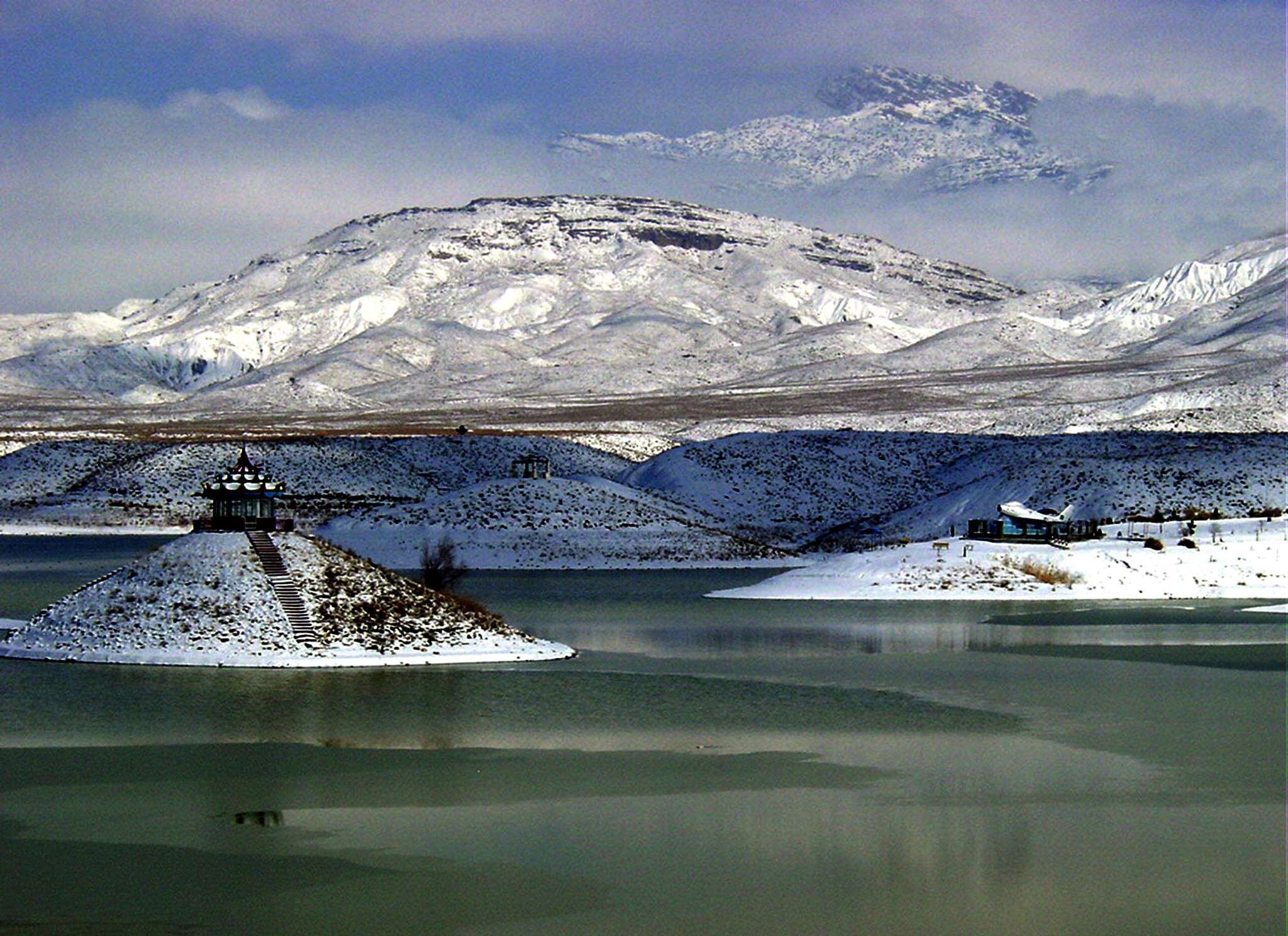
Hinglaj is an important Hindu pilgrimage place in Balochistan, Pakistan and Kuldevi of many Kshatriya and other Hindu Communities of India. It is situated in Balochistan province about 250 km north of Karachi. This city is situated near the peak of one of the mountains of the Makran Coastal Range. It is approximately 120 km from the Indus River Delta and 20 km from the Arabian Sea. The area is extremely arid and the pilgrimage also called ‘Nani ki Haj’ by local Muslims takes place before summer …
Harnai
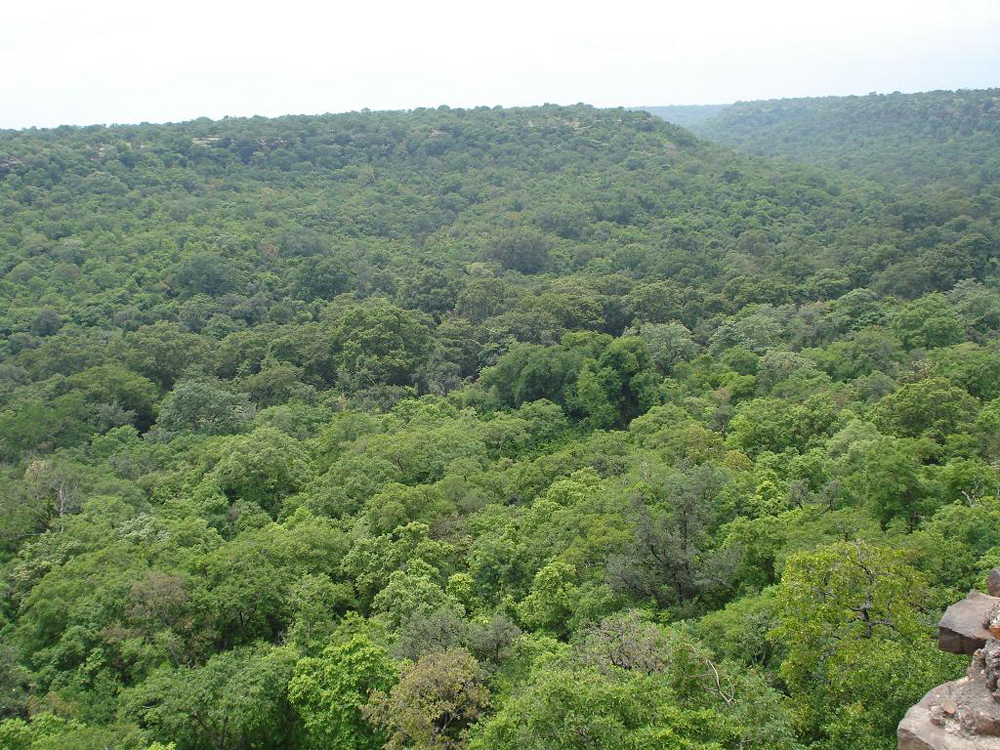
Harnai is the capital of Harnai District in the Balochistan province of Pakistan. It is located in the north east of Balochistan province. The town is surrounded by the cities Ziarat, Loralai and the state capital, Quetta. The population is predominantly Baluch Pashtun Afghan and speak the Waneci dialect of Pashto & Balochi. …
Awaran
Awaran District is a district in the south of the Balochistan province of Pakistan. It was created as a separate district on 11 November 1992. It is considered the poorest district in the province. The population of this dity according to census 2007 is 480,000. Thedistrict is administratively subdivided into the following 3 tehsils, which include eight union councils. …
Gwash
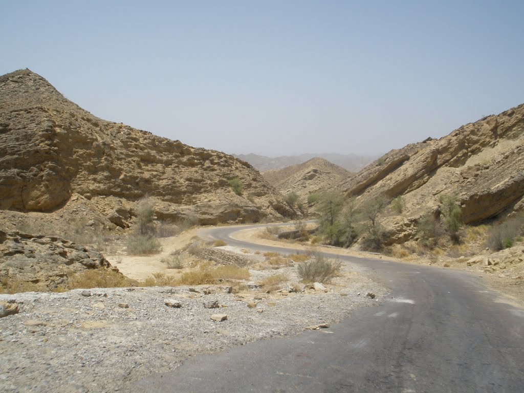
Gwash is a city in the province of Balochistan in Pakistan. Gwash (Gwāsh) is a populated place (class P – Populated Place) in (Balochistan), Pakistan (Asia) with the region font code of Asia/Pacific. Its coordinates are 28°30’0″ N and 65°30’0″ E in DMS (Degrees Minutes Seconds) or 28.5 and 65.5 (in decimal degrees). Its UTM position is QM45 and its Joint Operation Graphics reference is NH41-16. …
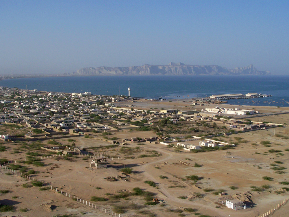
Gwadar
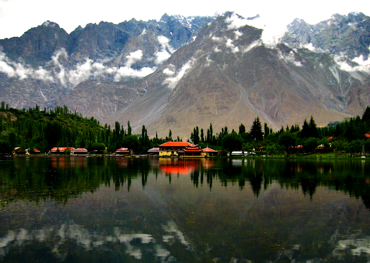
Gwadar is a city in the province of Balochistan in Pakistan. It is a planned free trade port city on the southwestern warm water Arabian Seacoastline of Pakistan in Balochistan province. It is the district headquarters of Gwadar District and, in 2011, was designated the winter capital of Balochistan province. …
Gulistan
Gulistan is located in province of Balochistan in Pakistan. It is a town and tehsil headquarters of the Qilla Abdullah District in the Balochistan. It is located eight kilometers from the Pakistan-Afghanistan border. Gulistan envelopes many tribes like the Achakzais, Kakars, Tareens and Syeds. It is located at 30°36’26N 66°35’2E at an altitude of 1481 metres (4862 feet). …

Garhi Khairo
Garhi Khairo is located in the province of Balochistan in Pakistan. The population of this city is not too much as there are only about 13666 people in this city. It is located of Latitude of 28,0667 (284’0.120″N) and the Longitude of this city is 67,9833 (6758’59.880″E). The altitude of this city is 42 m. …
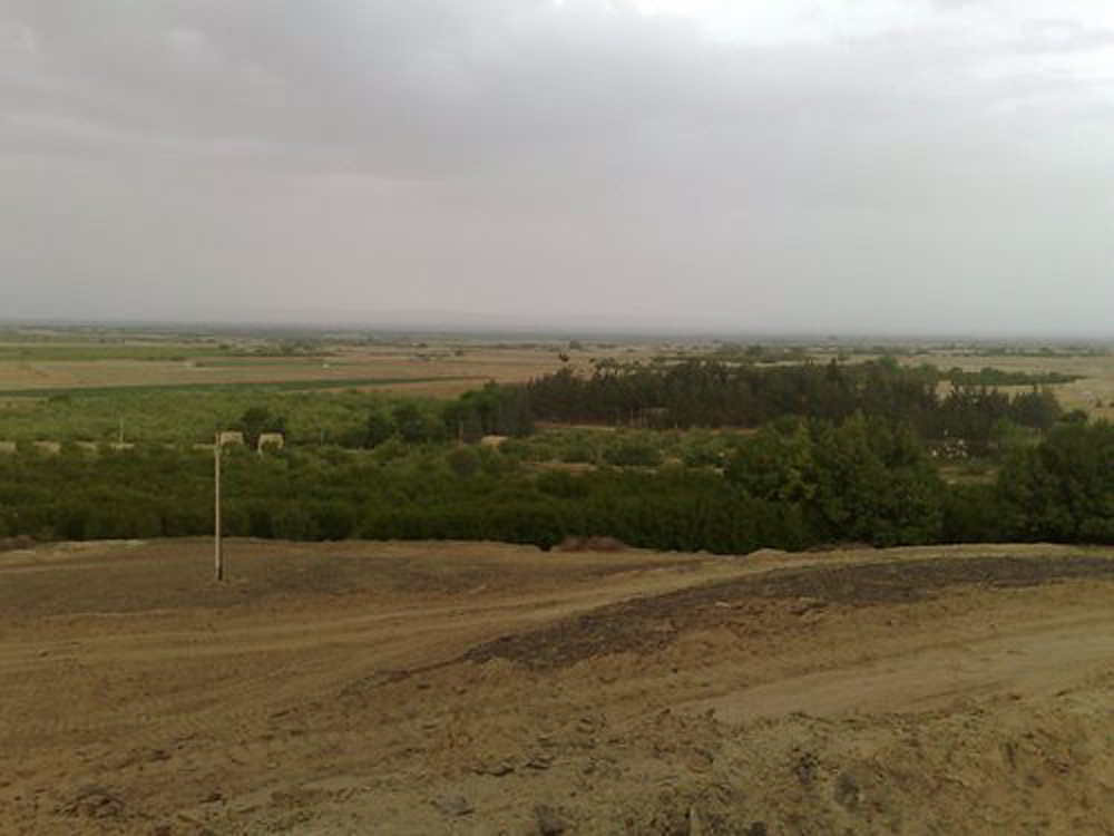
Kach Gandava
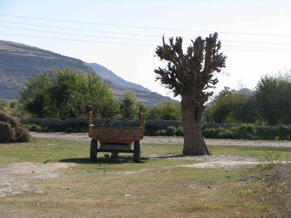
Kach Gandava Or Kachhi is a low-lying flat region in province Baluchistan of Pakistan. It is separating the Bugti hills from those of Kalat. It is driven, like a wedge, into the frontier mountain system and extends for 150 m. from Jacobabad to Sibi, with nearly as great a breadth at its base on the Sind frontier …
Gajar
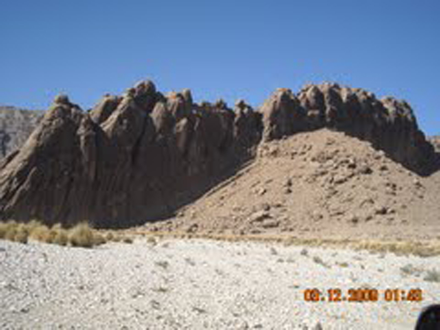
Gajar is situated in the province of Balochistan in the Pakistan. It is a populated place (class P – Populated Place) in (Balochistan), Pakistan (Asia) with the region font code of Asia/Pacific.
Its coordinates are 27°6’0″ N and 65°34’0″ E in DMS (Degrees Minutes Seconds) or 27.1 and 65.5667 (in decimal degrees). Its UTM position is QL50 and its Joint Operation Graphics reference is NG41-04. …