Top Reads
Blog
Lehri
Lehri is a district in Balochistan province of Pakistan. Bakhtiarabad is the headquarters of the this district.1st if was a tehsil of Nasirabad Division and than it was made a separete district on 21 May under section 6 of the Balochistan Land Revenue Act 1967, according to a notification issued by the revenue department on Tuesday.
It contians the tehsils of Lehri and Bhag, except the Sorani revenue area. The tehsils have been separated from the districts of Sibi and Kachhi. …
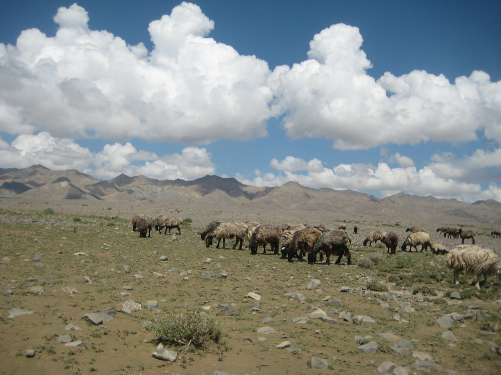
Kohlu
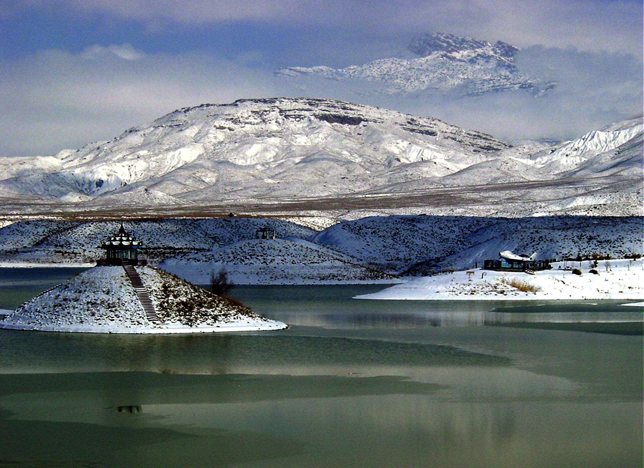
Kohlu is a district of the Balochistan province of Pakistan. It is bounded in the north by Loralai District, Dera Bugti in the south, in the east Rojhan-Mazari and Sibi District in the west. Kohlu District covers 7,456 square miles (19,310 km2) and according to the 1998 census of Pakistan had a population of 196,000.
Kohlu, also known as Marri country, has always been an arena of political insurgence or tribal vendettas. It was a deserted area and there was no permanent human settlement before inhabitation of Marris in this area …
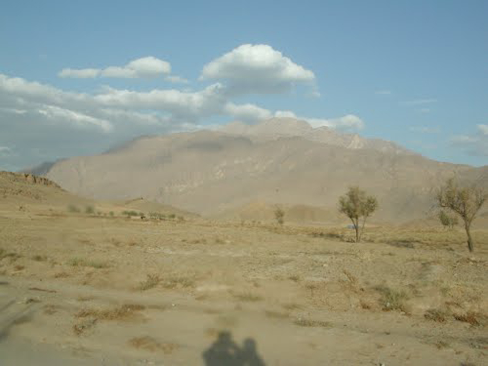
Kharan
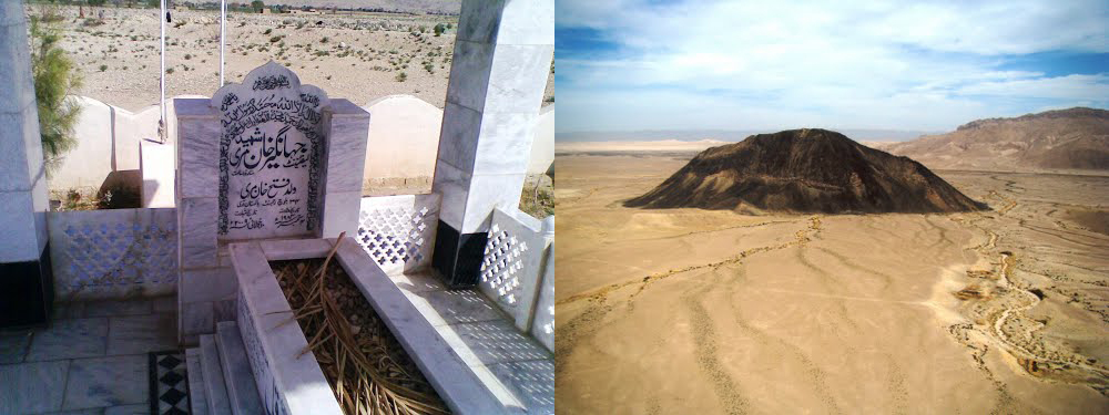
Kharan is a district in the Balochistan province of Pakistan. Pakistan’s second nuclear test was performed in the Kharan desert on May 30, 1998 with a miniaturised device yielding 60 percent of the Ras Koh Hills tests.
The district includes a single tehsil, administratively divided into nine union councils. …
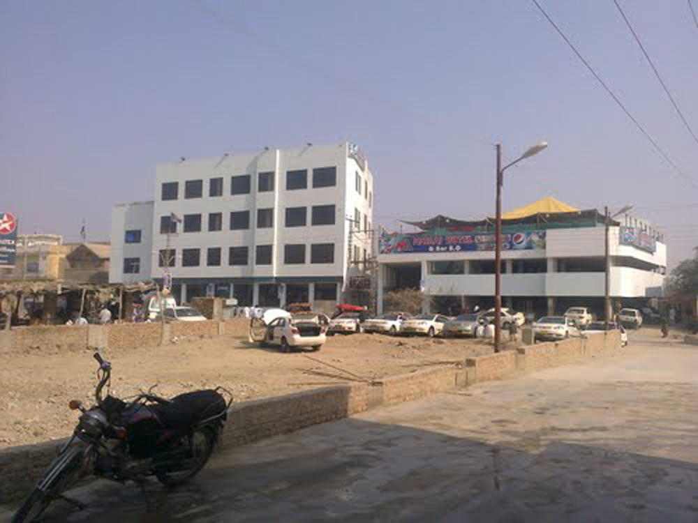
Kapip
Kapip is located in the Balochistan Area, Pakistan. The Tribal Area is located at the latitude and longitude coordinates of 31.321667 and 69.675278. This city has normal temperature, as its climate is good. In Summer it has temperature of maximum 35 degrees while in winter there is so cold here its temperature is too low. …
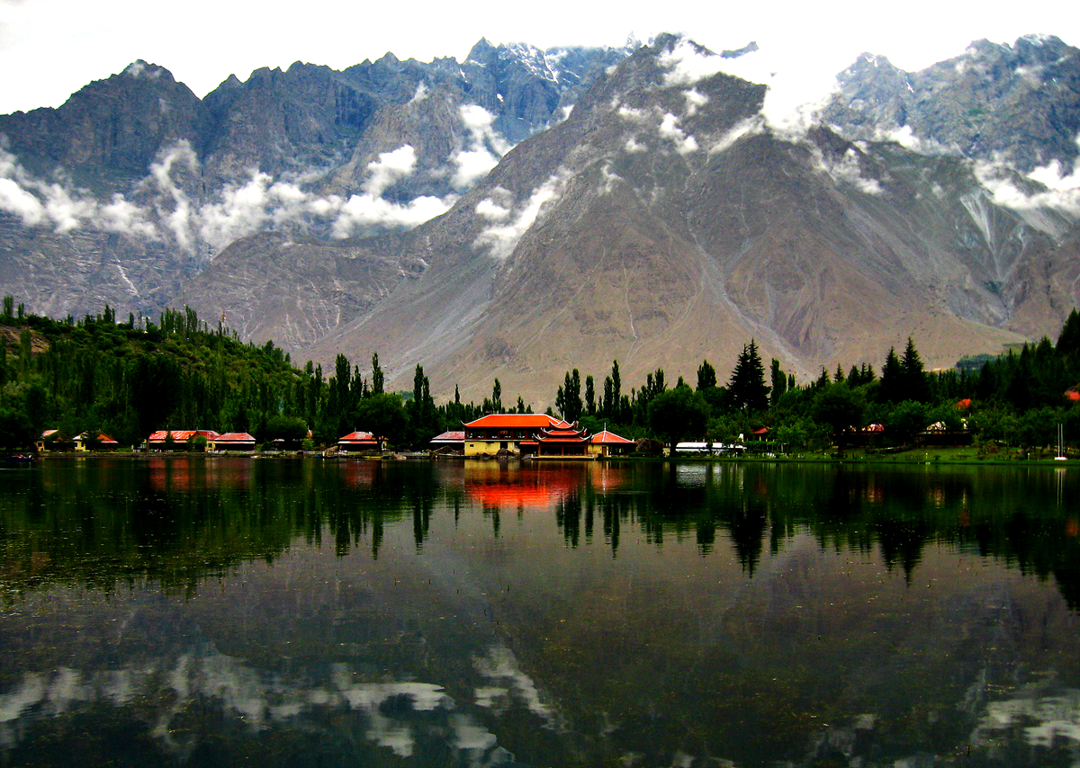
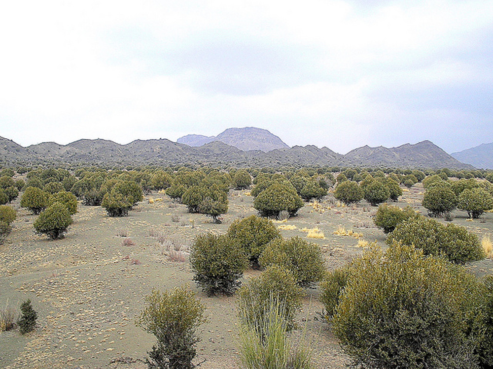
Kalat
Kalat is a historical town of Balochistan province of Pakistan. Kalat is the capital of Kalat District and is known locally as Kalat-e Baluch. Although not a big town now but Kalat has a rich history and is in a scenic terain of Balouchistan.
Kalat, was once known as Kilat, was the capital of the Kalat Khanate.
People of this city are mostly Muslim with a Hindu population of two percent. In addition, there are some Hindu Hindkowan merchants who have settled in Kalat. …
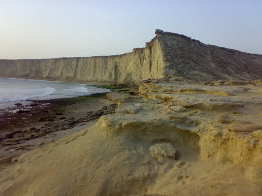
Jiwani
Jiwani is located in province of Balochistan in Paksitan. It is a town and commercial port that is located along the Gulf of Oman in the Gwadar District of the Balochistan. It is located near the Pakistani border with Iran.
The population if this town is not too much but but not too less as its population is about 30,000 and it will become a major commercial center in concert with the development of the port of Gwadar located nearly 80 km to the east. …
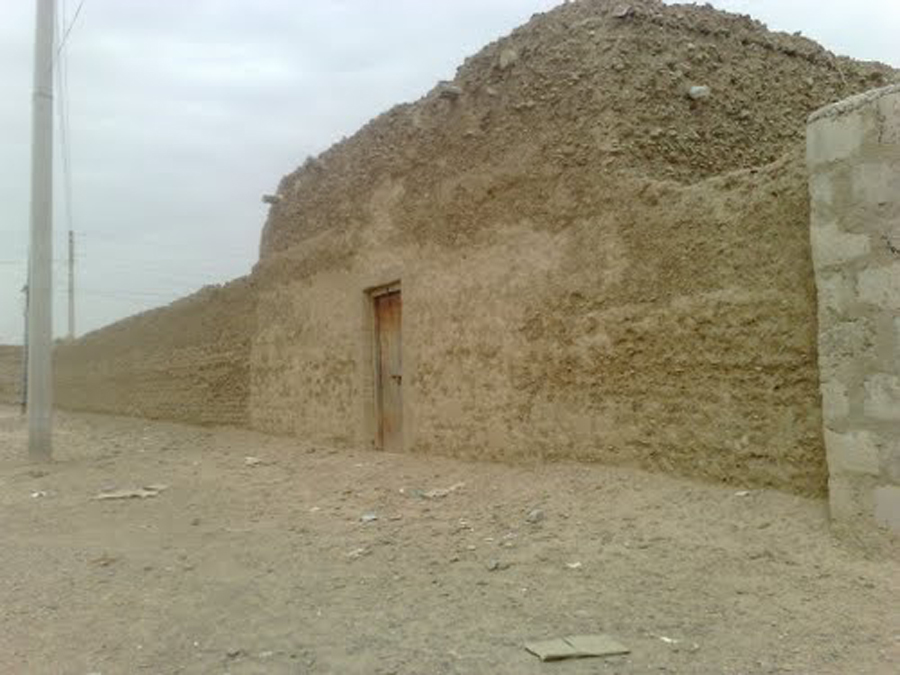
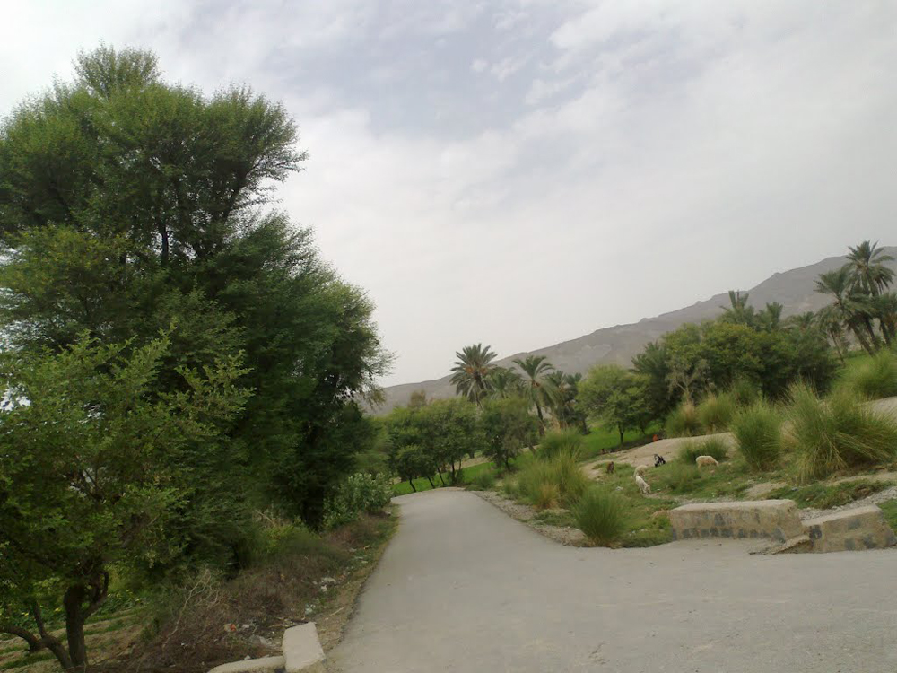
Jhal Jhao
Jhal Jhao is a small town which is located in the southern part of Balochistan, Pakistan. It is located in Awaran District. It is located at Latitude of 26°18’10N and Longitude of 65°34’49E and has an altitude of 347 m. The town’s population is around 15,000. This town is not a rich town and has houses made of mud and for water supply it has small canals that supply water. This town is surrounded by mountains and deserts. There is only a single way for entry in this town which is through Bela Awaran Road. …