Top Reads
Blog
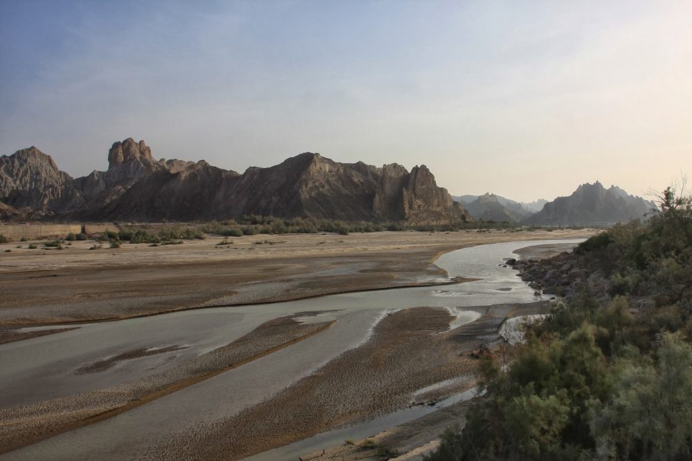
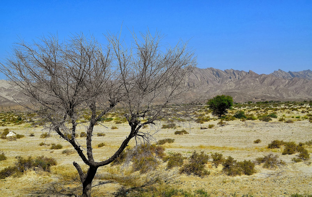
Qila Ladgasht
Qila Ladgasht is small town located in Mashkel tehsil in Kharan District, Balochistan, Pakistan. Its coordinates are 27°54’0″ N and 62°57’9″ E in DMS (Degrees Minutes Seconds) or 27.9 and 62.9525 (in decimal degrees).
The population of Kharan district was estimated to be over 250,000 in 2005. Over 99% of the people of the area are Muslims. The main Baloch tribes of the district are Nosherwani .
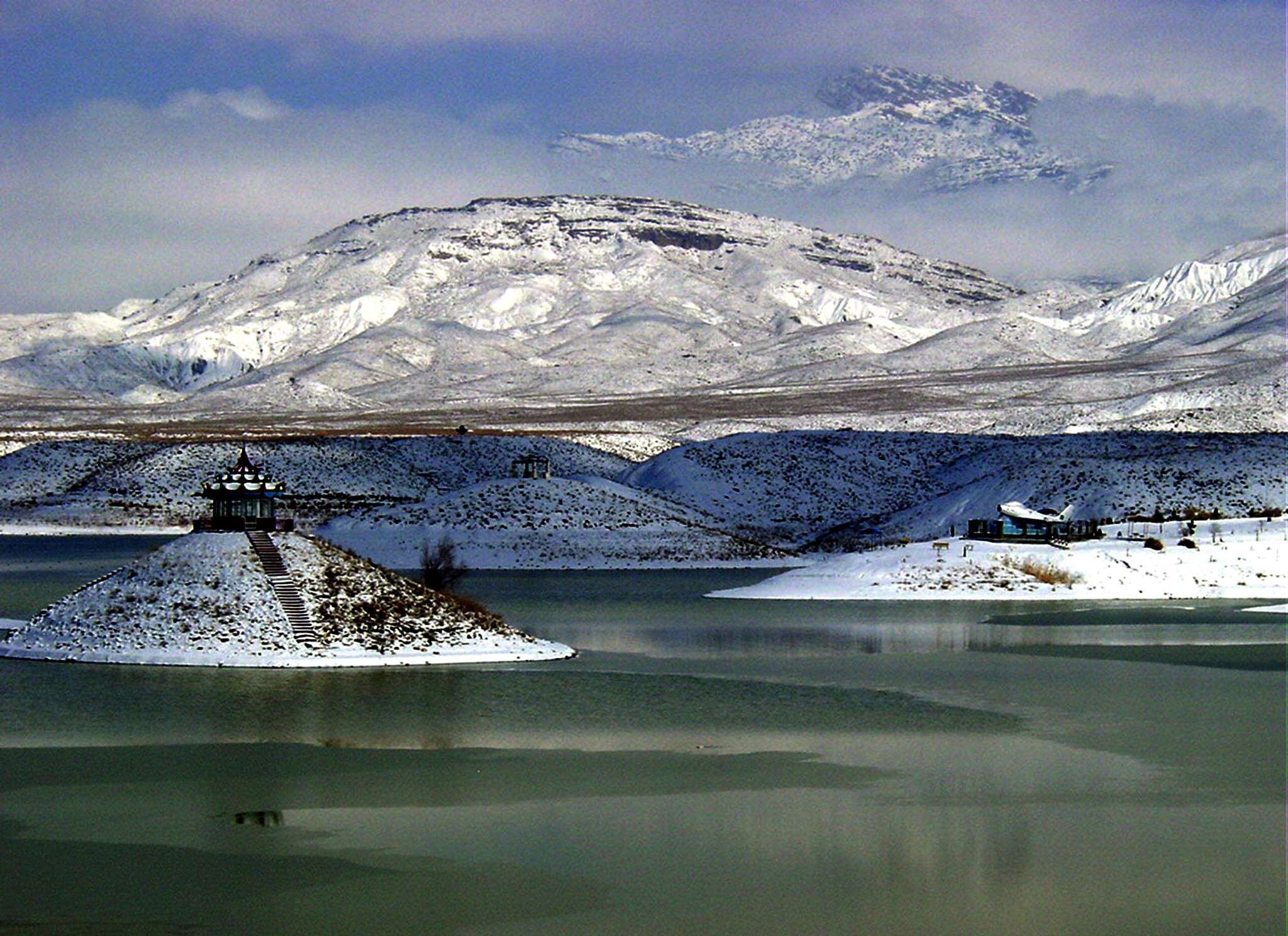
The Nausherwani tombs are located near Qila Ladgasht. …
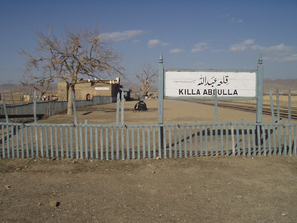
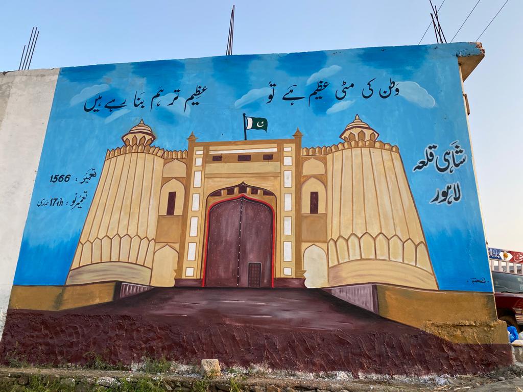
killa Abdullah
Killa Abdullah or Qilla Abdullah is a district in the north west of Balochistan province of Pakistan.
The district Killa Abdullah is named after Sardar Abdullah Khan Achakzai, who was a man of great influence. He was one of the two great leaders of the rebellion at Kabul in 1841, during which the British envoy was killed.
He bought Dehsora Karez from Kakars and Chashma Inzergai from the Ashezai Achakzai, in the early part of the 19th century. He then built a fort (Killa) and gave the place his own name. This place is located 38 km west of Pishin. Killa Abdullah was part of district Pishin. In 1993, it was separated from Pishin for administrative reasons and was given the status of a district. …
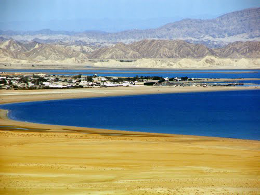
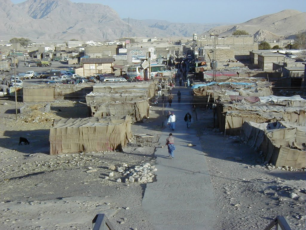
Pasni
Pasni is town in province of Balochistan in Paksitan. It is besically a medium-sized town and a fishing port in Gwadar District, Balochistan. Its population is around 33.000. It is located on the Makran coast on Arabian Sea about 300 km from Karachi. Administratively, Pasni is the headquarters of the Pasni sub-division of Gwadar district that includes Pasni and Ormara Tehsils as well as Astola Island which lies 40 km ESE of Pasni, in the Arabian Sea. The city of Pasni is itself administratively subdivided into two Union Councils. …
Nasirabad
Nasirabad is a district in the centre-west of Balochistan, Pakistan.
Nasirabad is named after the great Baloch leader Nasir Khan Noori, the founder of the Baloch Confederation. He ruled the Kalat Khanate from 1747 to 1794.
The district was notified in 1974. For three years, from 1987 till 1990, the district was known as Tamboo. Tamboo is a small village 40 kms west from the district’s head quarters Dera Murad Jamali. …
Mastung
Mastung District is a district located in the northwest of Balochistan province, Pakistan.
Mastung used to be a sub-division of Kalat district. Due to administrative reasons, it was separated from Kalat in July 1991 and was given the status of a district. From 18 February 1992 Mastung has functioned as a separate district. The district derives its name from the locality Mastung. According to locals “Mastung” is made up of two words Mas and Tung. In Brahvi language Mas means mountain and Tung means hole. Mastung is situated at the bottom of Lack pass. When someone crosses the Lack Pass from Quetta, before entering into Mastung city, he feels that he is passing through a hole.
The population of Mastung is above 200,000. All the population of this district are muslims and speaks Balochi language and they are of Balochi tribes …
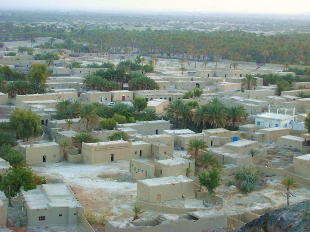
Mashki Chah
Mashki Chah is a town in province Balochistan, Pakistan. It is situated of Latitude of 29°00′19″N” and Longitude of 62°27′33″E”. Its decimal coordinates are 29.0056 and 62.4594. It lies of altitude of 895 m.
All the population of this town are muslims and speaks Balochi language.
The climate of Mashki Chah is warm and hot. In Summer it is too hot and in winter the weather is not too much cool. …
Manguchar
Manguchar is a populated place in the province of Balochistan, Pakistan. It is located at an elevation of 1,759 meters above sea level.
Its coordinates are 29°21’0″ N and 66°37’60” E in DMS (Degrees Minutes Seconds) or 29.35 and 66.6333 (in decimal degrees).
Its climate if cold and in Summer its high temperature is 34 degrees Celsius and in winter it is too cold here and the temperature comes even to -4 and 0 degrees of Celsius. …
Liari
Liari is a town in Balochistan province, Pakistan. It lies in union council of Uthal Tehsil. It is located at 25°41’20N 66°29’26E with an altitude of 11 metres. The standard time zone for Liari is UTC/GMT+5.
The climate of Liari is normal. In Summer it has maximum temperature of 38 degree Celsius and in winter it is too cold and the low temperature is 4 degree Celsius.
Cities, towns and places near Liari include Liyari, Layari, Somarani Gadra and Goth Mullan Hashim.
The closest major cities include Karachi, Hyderabad, Nawabshah and Mirpur Khas. …
Lasbela
Lasbela is a district in Balochistan province of Pakistan. Bela is the district headquarters. The district is divided into 9 Tehsil and 21 union councils.
Lasbela was notified as a district on 30th June, 1954. In October, 1955 the unification of the former provinces of Punjab, NWFP, Sindh and Balochistan took place. The Balochistan States Union was formed into Kalat division. But in December 1960 Lasbela became a separate district and was placed as a part of Karachi division. Later on it was transferred to Kalat division of Balochistan Province. …