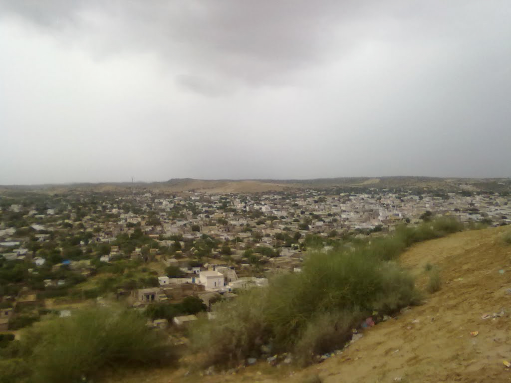
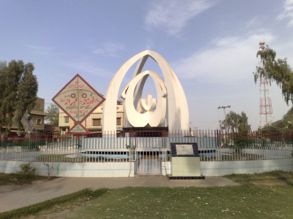
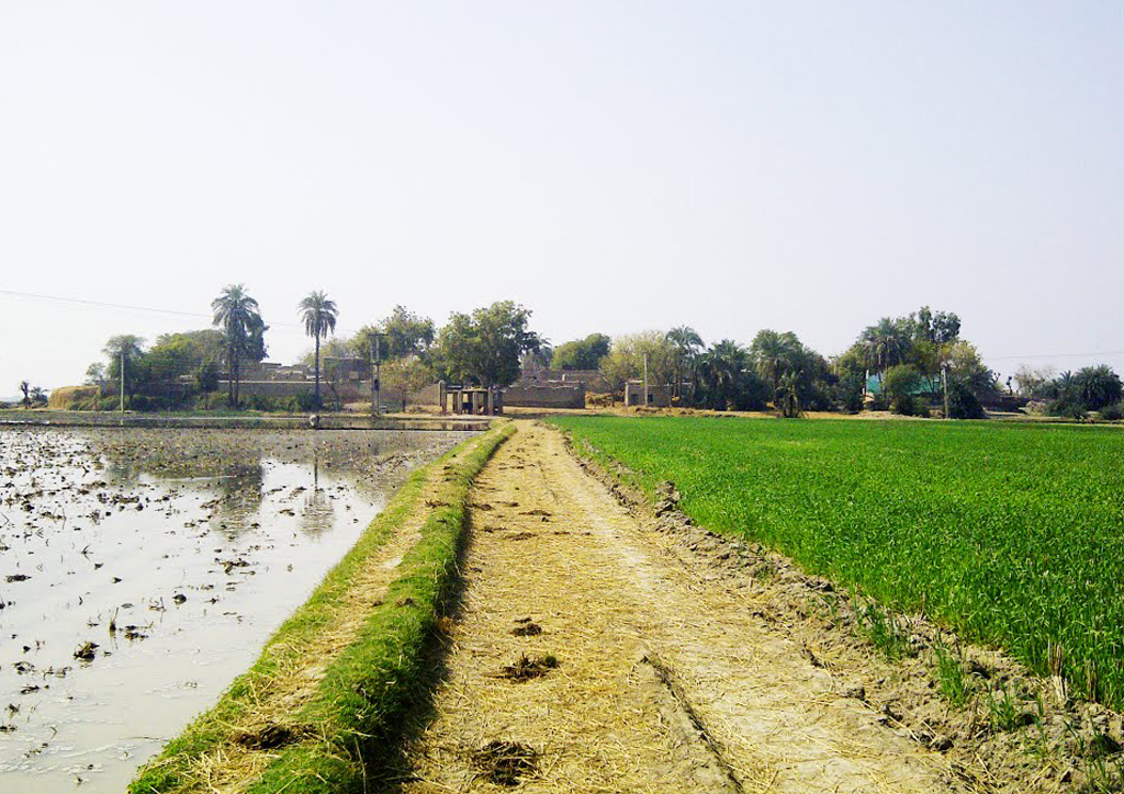
Shahdadkot

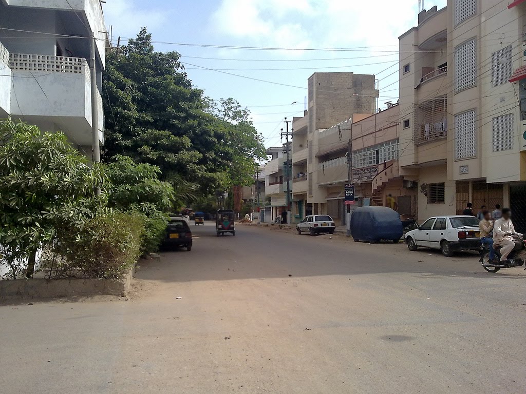
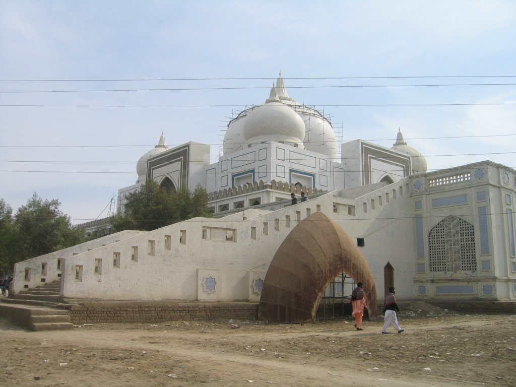
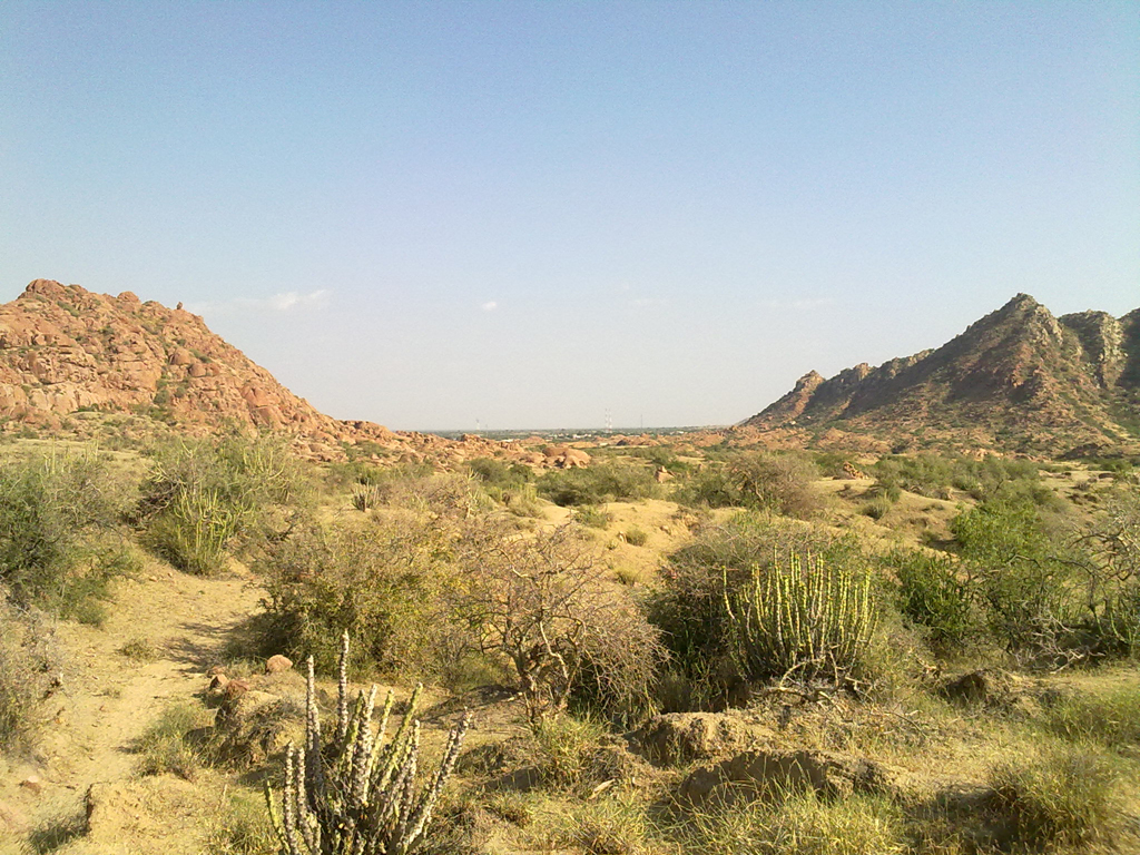
Shahdadkot is the most populated town of Qamber Shahdadkot District of Sindh, Pakistan. Shahdakot is named after Shahdad Khan who is believed to be Khuhawar. Its full name Silra Shahdadkot came from the strong historical relations between the two communities i-e Khuhawars and Silra’s, and to highlight contribution of Silra community for the city. The official name of Shahdadkot is Silra Shahdadkot however it is mostly known by its shortened name. It is located at the Latitude of 27°51′0″ North and Longitude of 67°54′0″ East. It is located around 44 kilometres northwest of Larkana and 32 kilometers north of Kambar. … Read More >Shahdadkot

Sanghar

Sanghar District is one of the largest districts of Sindh province, Pakistan. It is located at the Latitude of 26°00′ North and Longitude of 69°15′ East. It is located in the centre of Sindh and is bounded to the east by India. The district capital, Sanghar, is itself a small city roughly 56km east-south-east of the city of Nawabshah and the same distance north of Mirpur Khas. Randhawa Colony is situated at Nawabshah Road near Wapda Office. Its primary industry is agriculture. The people of this district speak Sindhi language in major. Nearly 80% of the people speak Sindhi language and the rest of the people speak Panjabi, Balochi and Hazarangi. … Read More >Sanghar

Sakrand

Sakrand is a town in the Sindh province of Pakistan. This town is located at the Latitude of 26°8′17″ North and Longitude of 68°16′23″ East. Sakrand is a taluka of the district Shaheed Benazirabad (old Nawabshah), near about 18 kilometers from the old Nawabshah city. By road it is at three and a half hours drive from Karachi on National Highway and one and a half hour drive from Hyderabad on National Highway. … Read More >Sakrand

Ratodero

Ratodero is a city in province Sindh of Pakistan. It is the capital of Ratodero Taluka a sub-division of Larkana District in the Sindh. It is situated in 27-48∘ latitude in north and 68-20∘ longitude in east. It is some 28 km from the district capital Larkana. This town is the headquarters of the Taluka of the same name. It is located on the way from Larkana to Shikarpur. Besides, many roads, both main and link, lead from this town to surrounding towns and villages. There are roads leading to Jacobabad, Shahdad Kot, Kamber, MiroKhan, Naudero and Larkana. … Read More >Ratodero

Ranipur

Ranipur is a town in Khairpur district of Sindh province in Pakistan. Ranipur is located at kilometer marker 413 on the main N-5 National Highway. 1 kilometer at daraza sharif where is tomb of Sachal Sarmast a famous Sufi poet of Sindh. Ranipur is heart of khairpur district and center of education of district. There are very famous institutes of sindh in ranipur like Ever Shine College Ranipur( Founded By Sir Enginner Mr. Mumtaz Ali Channa)Mazahar Muslim Model Higher Secondary School Ranipur (was founded by Sir Qurban Ali Memon), Mehran Public School Ranipur and, Bahria college Ranipur, where students come from every corner of Sindh. … Read More >Ranipur

Kazi Ahmed

Kazi Ahmed also written as Qazi Ahmad is a town in Shaheed Benazir Abad District (formerly Nawabshah District), Sindh province, Pakistan. About 250 years ago Sain Haji Qazi Ahmed migrated from DIM Sharif to Mail Kandi now called Qazi Ahmed.Qazi Ahmad (RA) bestowed upon his following disciples so graciously that among them over 360 established their own dargahs in Sindh, Punjab & other parts of India. … Read More >Kazi Ahmed

Nazimabad

Nazimabad is a city is province Sindh of Pakistan. It is a middle-class suburb of Karachi, Sindh, Pakistan. This suburb was named after Khawaja Nazimuddin who was the second Governor-General of Pakistan, and later the second Prime Minister of Pakistan as well. It resides in the central part of Karachi. This city was developed starting in 1952 to settle Muslim refugees in Pakistan. In late 1958, the northern area of Nazimabad, was to be developed as Timuria by Karachi Improvement Trust (KIT). The name North Nazimabad became popular and was later adopted instead of Timuria. … Read More >Nazimabad

Nawabshah

Nawabshah is a city in province of Sondh in Pakistan. It lies in Shaheed Benazir Abad District of Sindh. This city is roughly the geographical center of Sindh. By road it is 4 hours’ drive from the country’s commercial capital/largest city Karachi on the National Highway N-5, roughly 50 kilometers from left bank of River Indus. The central geographical location of the city makes it a major train and road transportation hub in the province. It was established By British Government in 1913. It is the headquarters of Shaheed Benazir Abad District has a population of 1,135,131. … Read More >Nawabshah

Naudero

Naudero is a townin Sindh province of Pakistan. It is located at the Latitude of 27°40′5″ North and Longitude of 68°21′40″ East. It lies to the north-west of the district capital Larkana, connected by road. It is also the Union Council of Ratodero Taluka in Larkana District, Sindh,Pakistan. The Union Council also includes the village of Garhi Khuda Bakhsh. Irrigated by canals, the area is noted for its rice production. … Read More >Naudero

Nagar Parkar

Nagar Parkar is a town in Tharparkar District in Sindh province of Pakistan. At one time this city was under the sea, which had to be crossed, the name “Parkar” means “to cross over”. This city is located at Latitude of 24.35° North and Longitude of 70.7833° East. It is located at a distance of 150 km from Mithi, in Sindh, Pakistan. It is situated at a distance of about 15 km from the Indian border. Nagarparkar has on its north Subdivision Chachro, and on its west is Taluka Mithi of Tharparkar District, while on east of it lies Barmer (Rajasthan) and on its south is Run Katchh. The area surrounding the city is a rocky belt called Parkar, and the remaining part is a sandy area. … Read More >Nagar Parkar

Mithi

Mithi is the capital of Tharparkar District in the Sindh province of Pakistan. This city was made the capital of Tharparkar District in 1990, when the district was separated from Mirpur Khas to form a new District. It is located at the Latitude of 24°74’0 North and Longitude of 69°80’0 East with an altitude of 28 meters. It is situated at about 278 kilometers from Karachi and is located in a beautiful desert area. The population of this city is now over 150,000. There are several schools and colleges in this city, as it is developed area in Tharparkar so there is a good literacy rate relating to Tharparker here. … Read More >Mithi

Mirpur Khas

Mirpur Khas is a city in the province of Sindh in Pakistan. It is the capital city of Mirpur Khas District. This city is located at the Latitude of 25°31′39.3″ North and Longitude of 69°00′50.6″ East, Mirpur Khas is the gateway to the south-eastern edge of the Sindh province. It connects to Hyderabad at 65-kilometres by both road and rail while with Umerkot it connects only by road. Karachi is 220-kilometres south-west of the town. On the extreme east lies the Indian border at 170-kilometres. It is the fourth largest city in the province with an estimated population of 488,590 in 2009 and now about 600,000. … Read More >Mirpur Khas