Month: July 2014
Lakki Marwat
The city of Lakki Marwat is one of the Southern Districts of Khyber Pakhtunkhwa in Pakistan. It has been made a separate district on July 1, 1992 before this it was a Tehsil of Bannu District. The word Lakki derives from Pali language word means Laksmi, goddess of beauty and fortune. The other word which is emarta’watta means source of elixir so this word then changed into Marwat. …
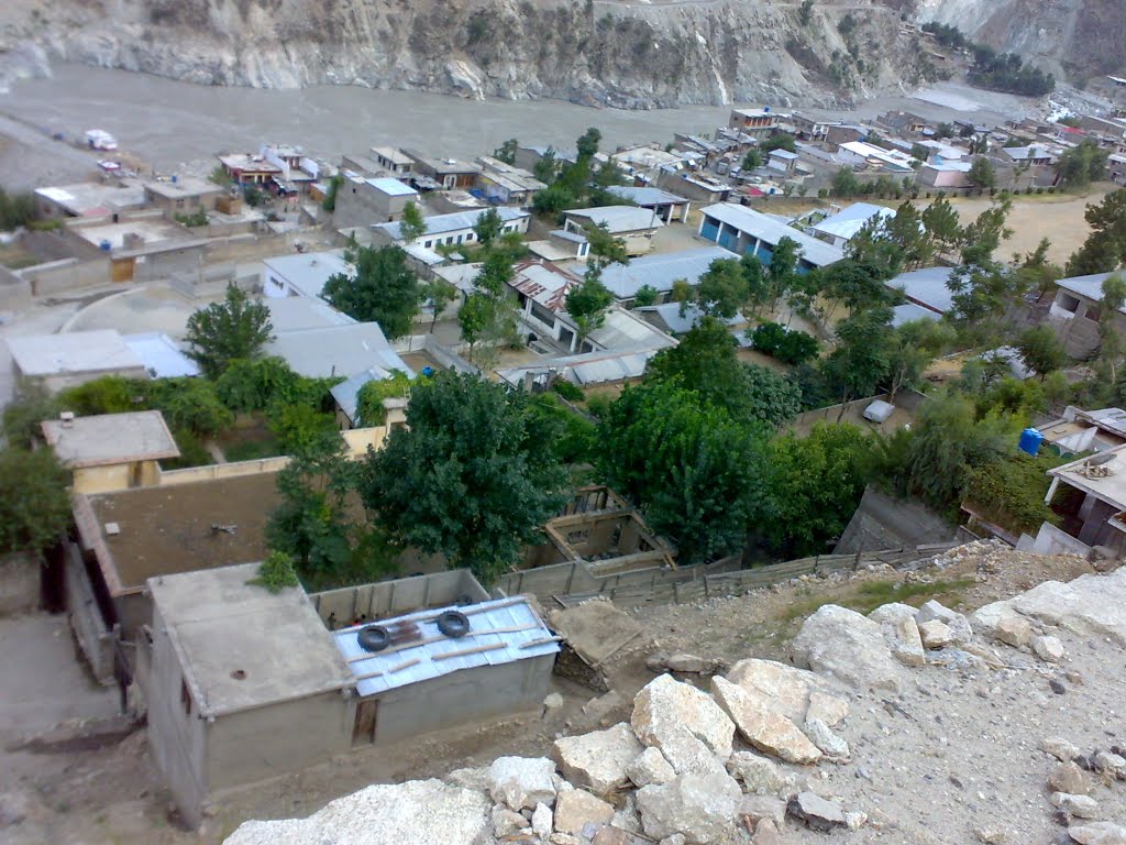
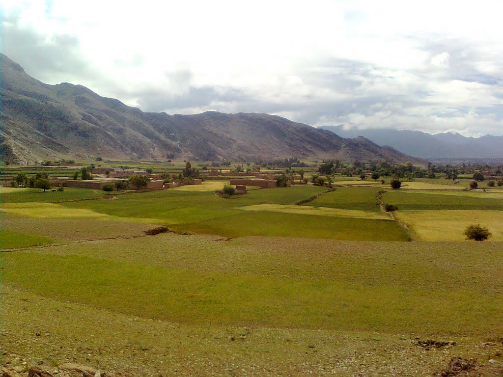
Kohistan
Kohistan, a Persian word meaning “land of mountains” is an administrative district in the province of Khyber –Pakhtunkhwa. It covers a total land area of 7,492 square kilometers with a population of 472,570 at the 1998 Census. Kohistan is where Karakorum, Hindukash and Himalayas meet making it one of the unique mountain ecosystems of the world. The district consists of four Tehsils: Dassu, Pattan, Pallas and Kandia. …
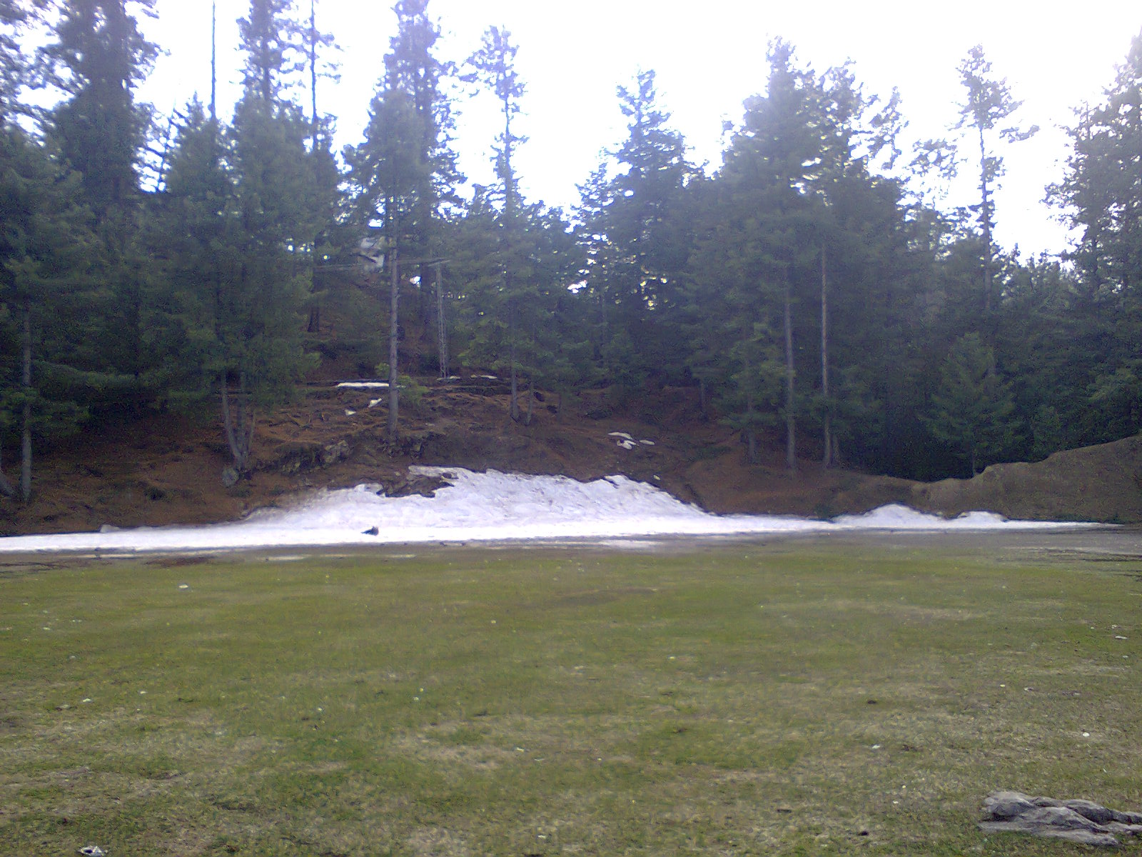
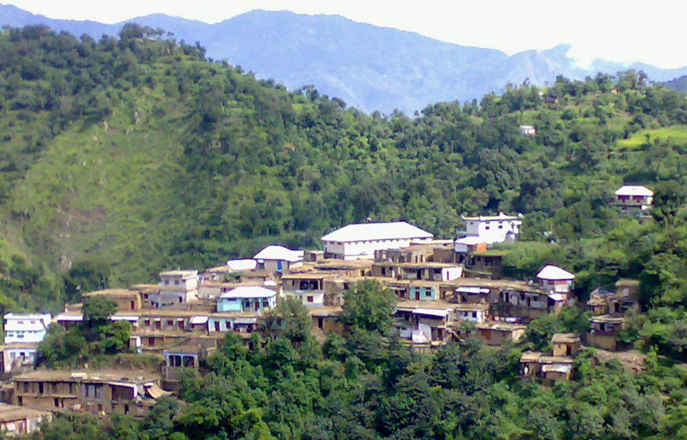
Khanaspur
Khanspur is one of the tourist mountain resort towns of the Galyat area of Pakistan. Khanspur is a settlement in the Ayubia area and is located in Abbottabad District in Khyber Pakhtunkhwa province of Pakistan. During British rule it was occupied by a detachment of British infantry. Main Local areas of Khanaspur are Darwaza, Dhara, Riyaal and Longaal. The nobels of Khanaspur are: (NAJIAL’s) Lal Khan Abbasi(Late), Sajawal Abbasi(Late), Muhammad Imran Abbasi, Abid Imran Abbasi, Majid Imran Abbasi and Saqib Imran Abbasi. …
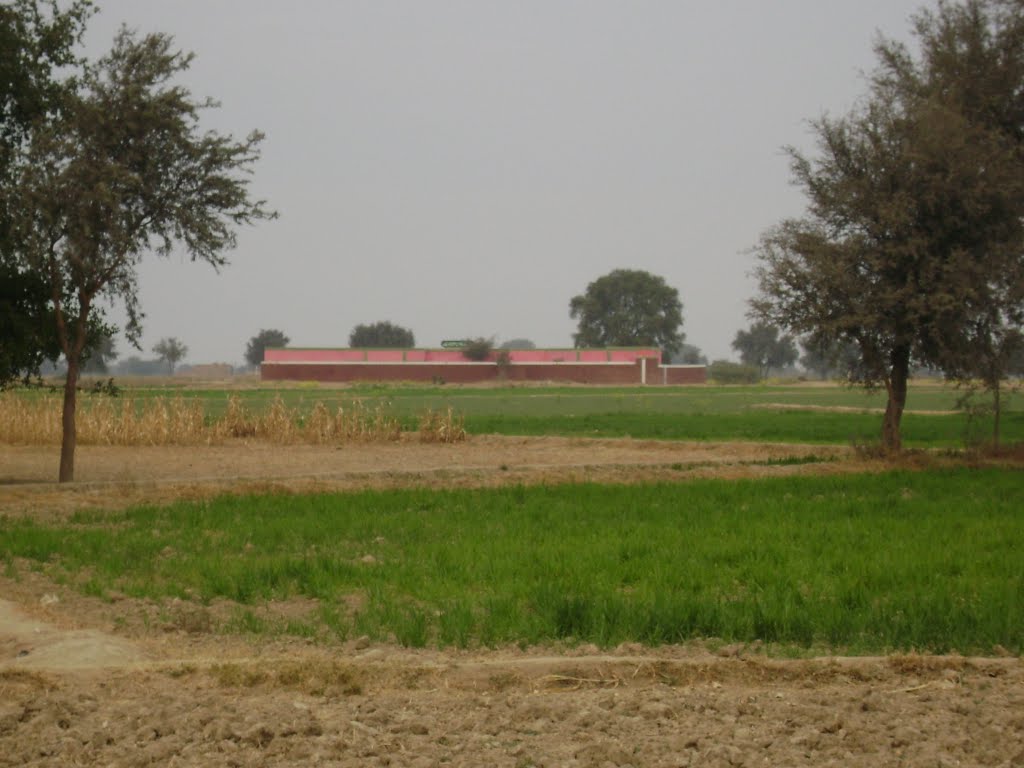
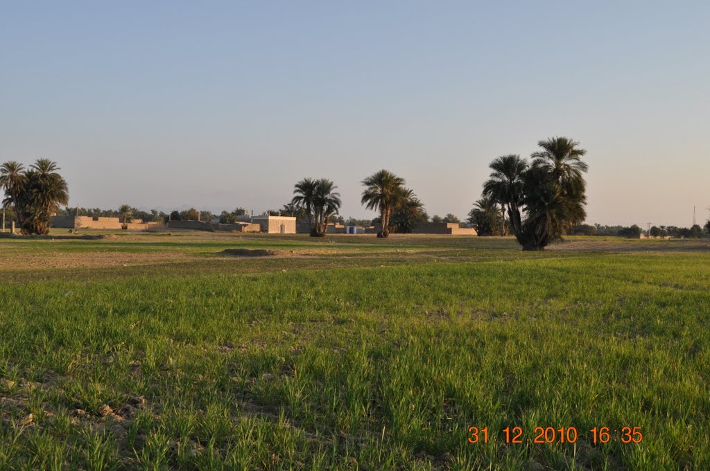
Darya Khan
Darya khan is one of the city of the district Bhakkar situated 20 Kilometers to north of Bhakkar on the eastern bank of river Indus. There is a large scale sugar mill namely Fecto sugar Mills situated in Darya Khan. Likewise other district Tehsil has extreme climate. It is very sizzling hot during summer. The maximum temperature goes upto 42 degree centigrade and minimum to 28 degree centigrade …
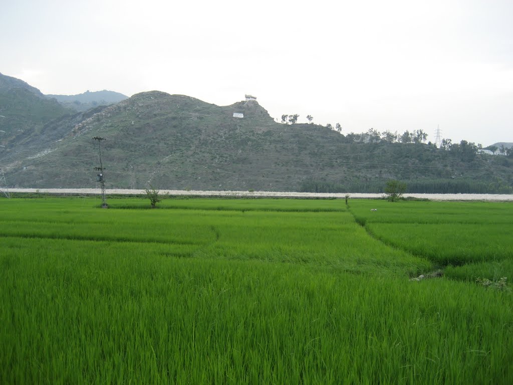
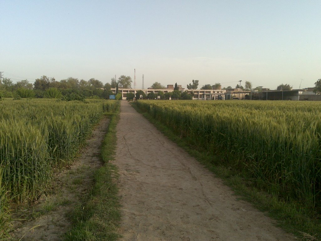
Chakdara
It is a town in Lower Dir District of Khyber Pakhtunkhwa. It is located in the north of Malakand on the north bank of the Swat River, and is near the entrance to Swat District and also at the entrance to Lower Dir. It is about 132 km from Peshawar and 20 km away from Saidu Sharif, Its the gateway to Lower Dir District. …
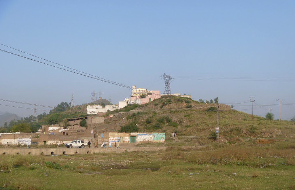
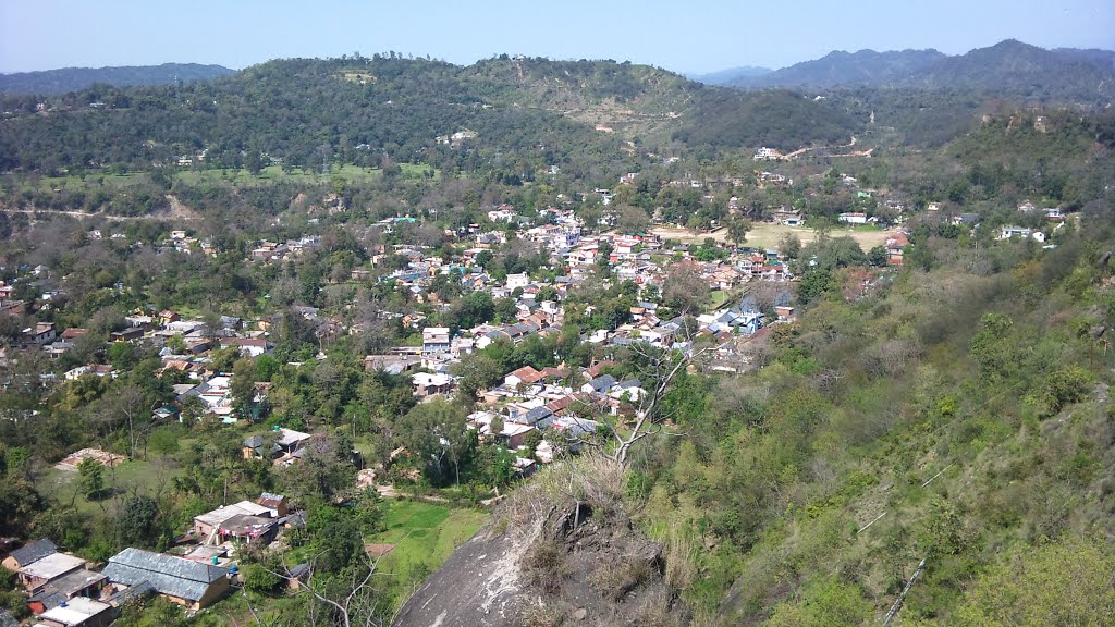
Karak
Karak is a district of the Khyber Pakhtunkhwa province of Pakistan. It is situated to the south of Kohat District and on the north side of Bannu and Lakki Marwat districts on the main Indus Highway between Peshawar and Karachi – it is 123 km from Peshawar. Karak is said to be the single district in Pakistan which is inhabited by only one tribe of Pashtuns which are the Khattaks. …
Mohmand Agency
Mohmand Agency is next to Yakh Dand and is located in Federally Administered Tribal Areas, Pakistan.
The Mohmands are found nearly everywhere in Afghanistan, but mainly concentrated in Nangarhar, Kunduz, Ghazni and Kunar. In Pakistan, they inhabit the Mohmand Agency in the Federally Administered Tribal Areas, and they are also a significant minority in Peshawar District. …
Miranshah
Miranshah is a town and administrative headquarters of the North Waziristan Agency in the Federally Administered Tribal Areas (FATA) of Pakistan.
This town lies on the banks of the Tochi River in a wide valley surrounded by the foothills of the Hindu Kush mountains and is situated approximately 17 km from the Pakistan-Afghanistan border at an elevation of approximately 3,050 ft. …